


* * * * * *
Petrus Kaerius, Amsterdam, 1598, Philippinae
This small map is historic for being the first individual map of the Philippines, already within its established historical borders.


Robert Dudley (1573-1642) Florence 1646. Carta particolare
del mare e costa di Manilla.

Carta particolare dello Stretto di Manilla nel Isole Filipine.

Carta particolare dell'Isole Filipine e di Luzon.


Nicolas Sanson d'Abberville, Paris, 1632. Les Isles Philippines; Amsterdam, 1655. De Philippynsche Eilanden. Sanson was the first great cartographer of 17th century France.
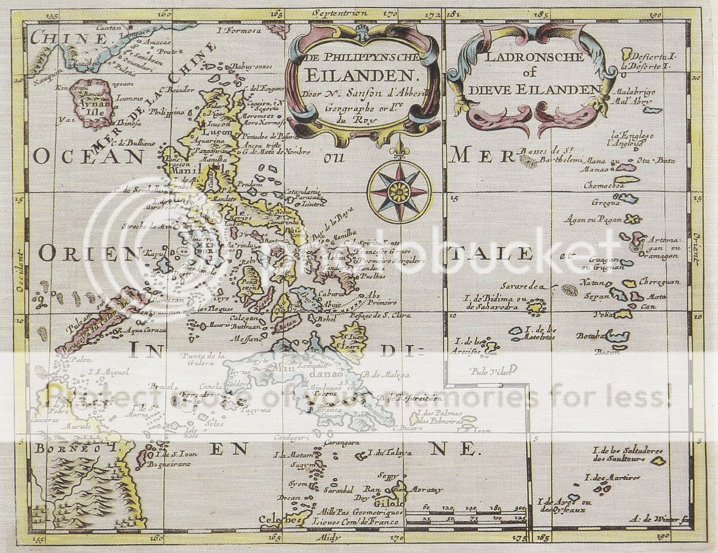
Nicolas Sanson d'Abberville, Paris, 1632. Les Isles Philippines; Amsterdam, 1655. De Philippynsche Eilanden. Sanson was the first great cartographer of 17th century France.

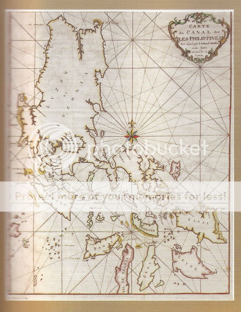
Pierre du Val, Paris, 1663, Isles Philippines

Pierre du Val, Nuremberg, 1694. Insulae Philippinae


Allain Mallet, Paris, 1682; Les Isles Philippines.
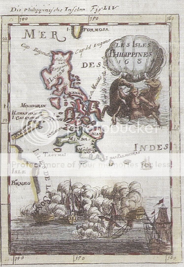
Published in Decriptionde l'Univers, Paris, 1683. the map has a print of a naval battle at the bottom.
Allain Mallet, Paris, 1682; Les Isles Philippines.
Published in Decriptionde l'Univers, Paris, 1683. the map has a print of a naval battle at the bottom.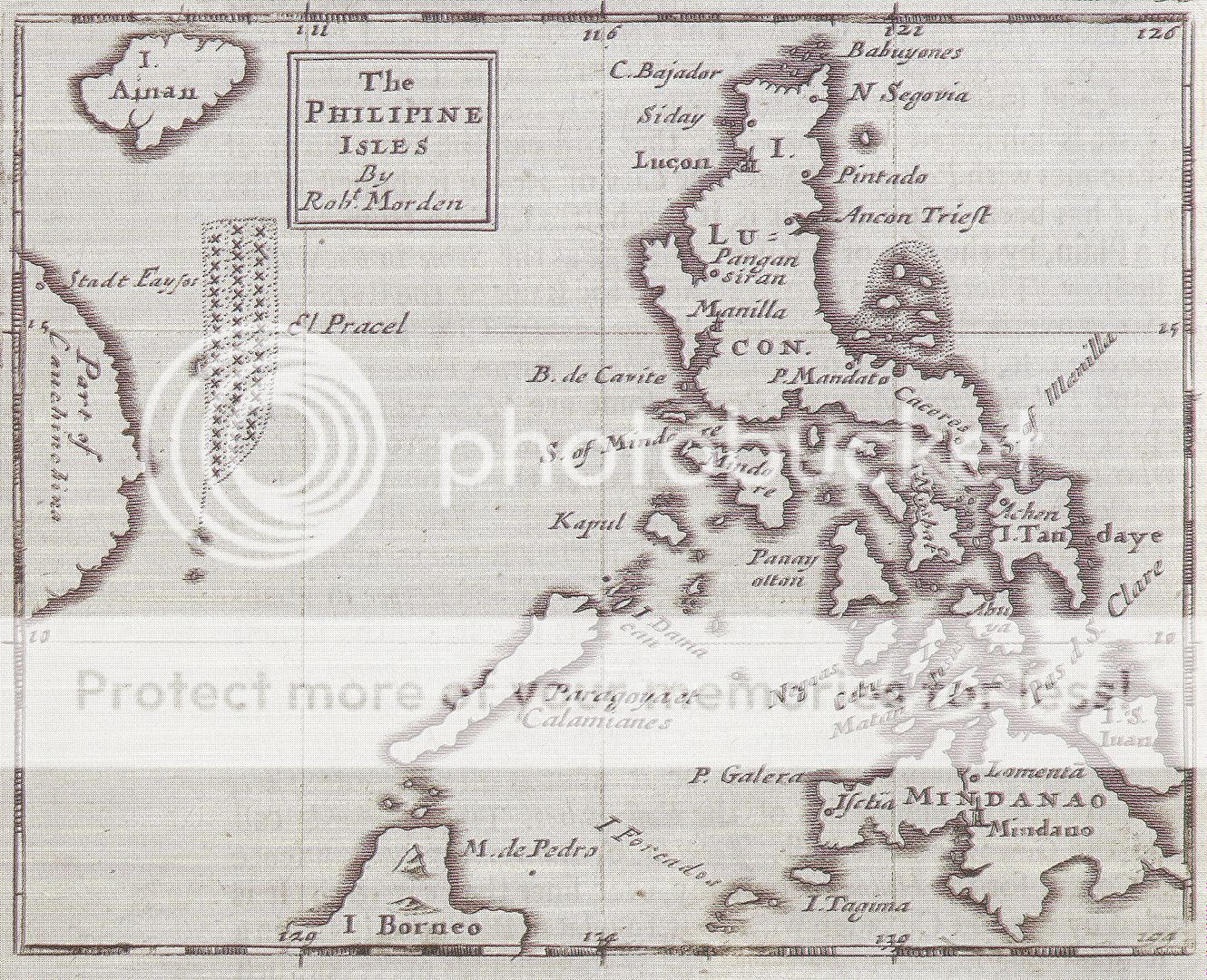
Robert Morden, London, 1689, The Philippine Isles.
This was one of the first British maps of the Philippines
 Die Philippischeb Insuln. Johans Ulrich Muller/ GabrielBodenechr after Hirschmann hand-colored copper engraving. 1692 map from Kurtz-buendige Abbild-und Vorstellung der guntzenWelt; pl 15; first revised edition published by George Wilhelm Kuehn in Ulm. No cartouche on map.
Die Philippischeb Insuln senn. Johans Ulrich Muller/ GabrielBodenechr after Hrschmann hand-colored copper engraving. 1702 (1692) map from "Kurtz-buendige Abbild-und Vorstellung der
guntzenWelt; pl 15a; published by George Wilhelm Kuehn in Frankfurt / Ulm. Later edition with
short text only but with vignette at bottompage: with cartouche in upper right of map "Insulae Philippinae"

Die Philippischeb Insuln. Johans Ulrich Muller/ GabrielBodenechr after Hirschmann hand-colored copper engraving. 1692 map from Kurtz-buendige Abbild-und Vorstellung der guntzenWelt; pl 15;
published by George Wilhem Kuehn in Ulm First edition extensive text and an upper right cartouche "Insulae Philippinae"


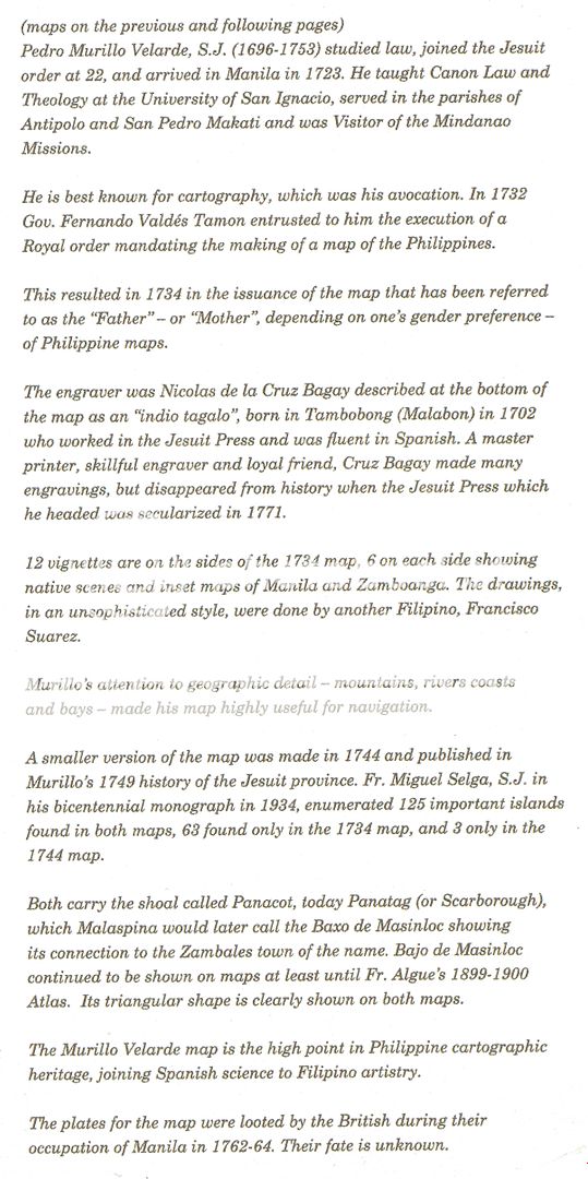
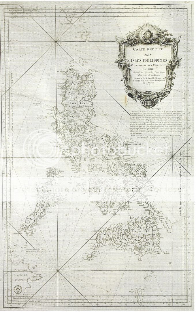
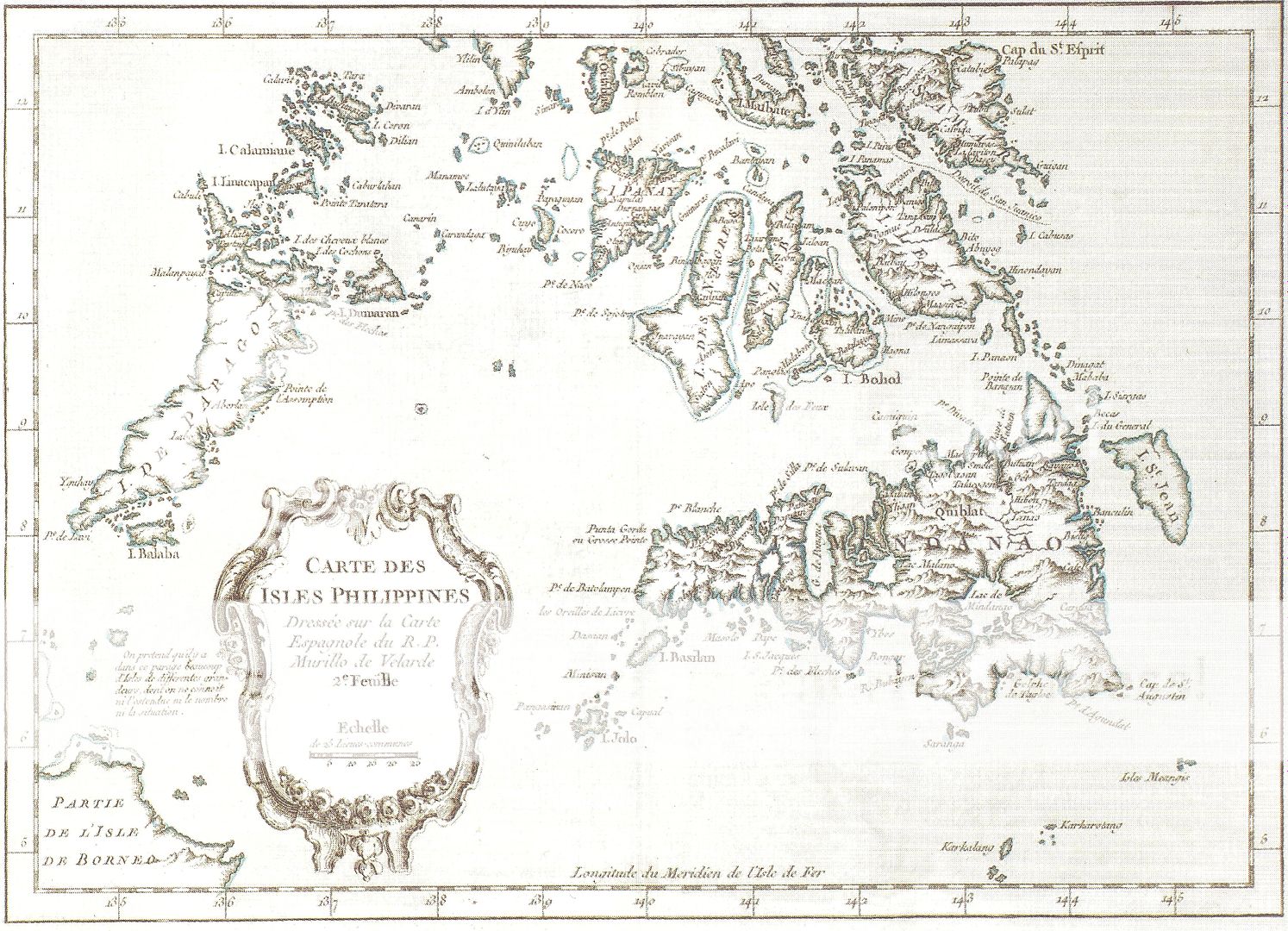
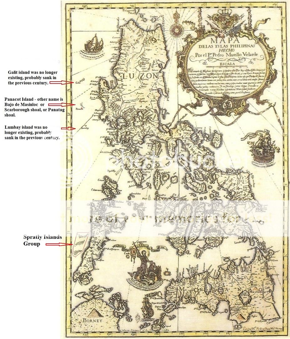
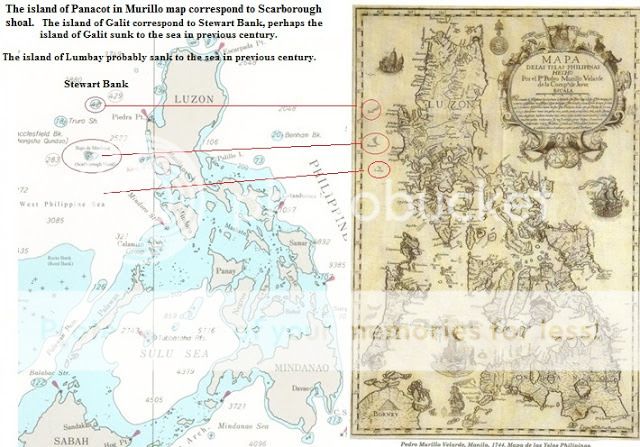
Pedro Murillo Velarde, Manila, 1734.
Carta hydrographica y chorogphica de las Islas Filipina

Pedro Murillo Velarde, Manila, 1734.
Carta hydrographica y chorogphica de las Islas Filipina

Pedro Murillo Velarde, Manila, 1734.
Carta hydrographica y chorogphica de las Islas Filipina


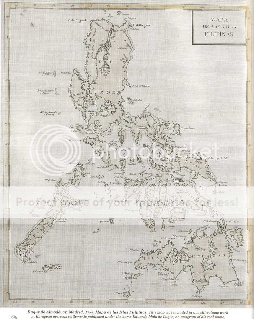
Later edition of Pedro Murillo Velarde, Manila, 1788. Mapa de las Yslas Filipinas.
Published in Historia General de Filipinas, byJuan de la Concepcion, Manila 1788. The line "De la Compania de Jesus" that appears on the previous Murillo maps has been removed.

Pedro Murillo Vellarde, 1887. Mapa de las Yslas Filipinas
Published in Cartas de los P.P. de la Compania de Jesus de la Mission Filipinas. Earlier published in
DiccionarioGeografico-Estadistico-Historico de las Islas Filipinas., by Manuel Buzeta, Madrid, 1850.

Pedro Murillo Villarde, 1892, Mapa de las Yslas Filipinas.
In Juan Jose Delgado S.J.'s Historia General Sacro-Profana.

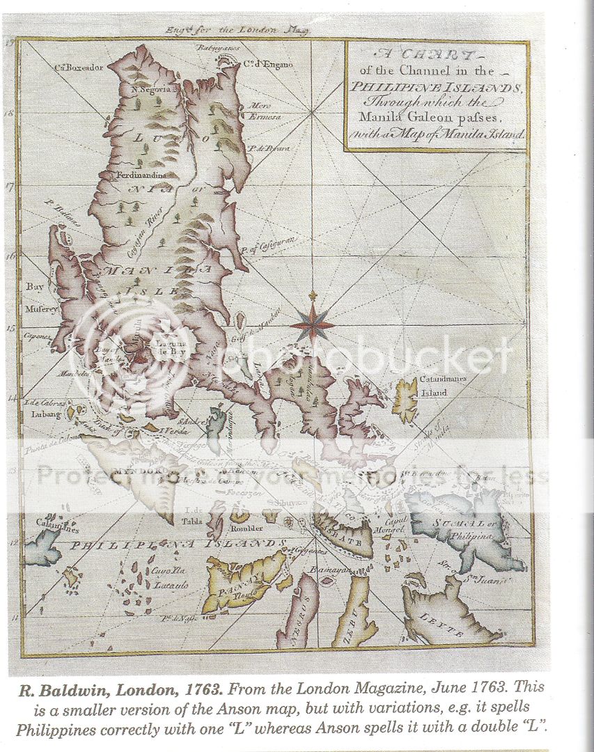
George Anson. London, 1748. A Chart of the Channelin the Philippine Island through which Manila Galleon passes together with the adjacent Islands.
English, Dutch, and French versions of a map first published in "Voyage Round the World, by George Anson, London, 1748." This shows the normal route of the Manila Galleon from Manila pastMindoro, Romblon, and Masbate to San Bernardino Strait, " The Embarcadero"
English, Dutch, and French versions of a map first published in "Voyage Round the World, by George Anson, London, 1748." This shows the normal route of the Manila Galleon from Manila past
Mindoro, Romblon, and Masbate to San Bernardino Strait, " The Embarcadero"

English, Dutch, and French versions of a map first published in "Voyage Round the World, by George Anson, London, 1748." This shows the normal route of the Manila Galleon from Manila past
Mindoro, Romblon, and Masbate to San Bernardino Strait, " The Embarcadero"

George Anson. London, 1748. A Chart of the Channelin the Philippine Island through which Manila Galleon passes together with the adjacent Islands.
English, Dutch, and French versions of a map first published in "Voyage Round the World, by George Anson, London, 1748." This shows the normal route of the Manila Galleon from Manila past
Mindoro, Romblon, and Masbate to San Bernardino Strait, " The Embarcadero"

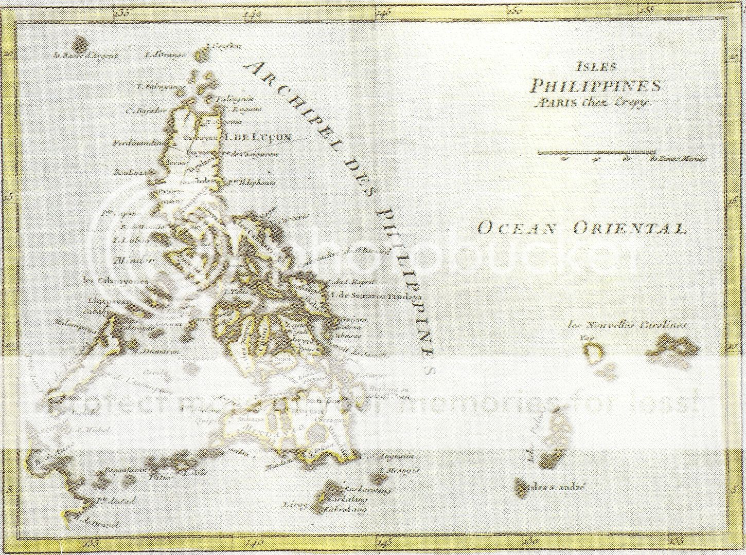

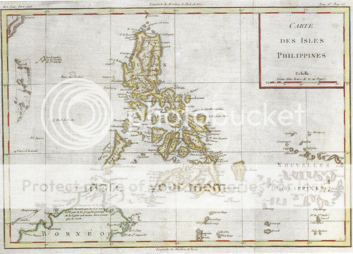

 Jacques Nicolas Bellin, Paris, 1752. Cartes des Isles Philippines
Jacques Nicolas Bellin, Paris, 1752. Cartes des Isles Philippines

Jacques Nicolas Bellin, Paris, 1752. Cartes des Isles Philippines. This smaller map was printed on two sheets with Luzon in the upper sheet and the Visayas and Mindanao in the lower sheet.

Thomas Kitchin, London, 1769. A new map of the Philippine Islands.
Kitchin was one of the most prolific map publishers in the latter part of the 18th century. His General Atlas was published in 1773.

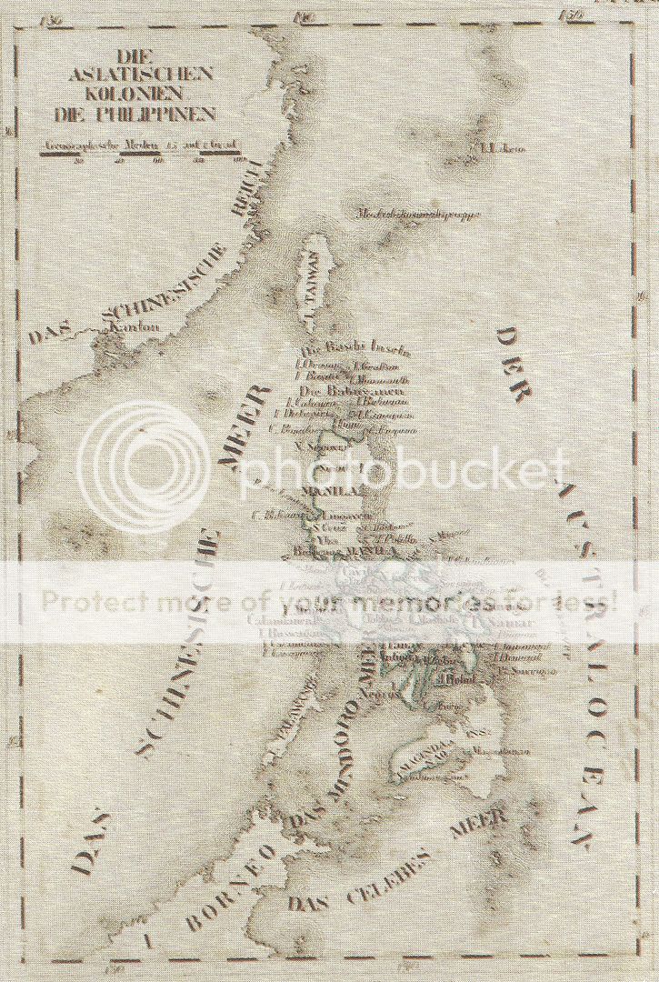
Johann Schreiber, 1789. The Philippine Islands in the Asian Sea.


Chretien-Louis-Joseph de Guignes, Paris, 1808. Cartes de Iles Philippines
Wilhelm Ernst August von Schlieben, Leipzig, 1925.
The Philippines is included among the Spanish colonies and is printed on the same sheet as some African islands.
Charles Le Gobien, 1819
Untitled map first published in 1715.


Joaquin Martinez de Zuniga, London, 1814. Mapa de las Islas Philipinas. A correct map of the Philippine Islands. Included in the English translation of his Historical View of the Philippine Islands.
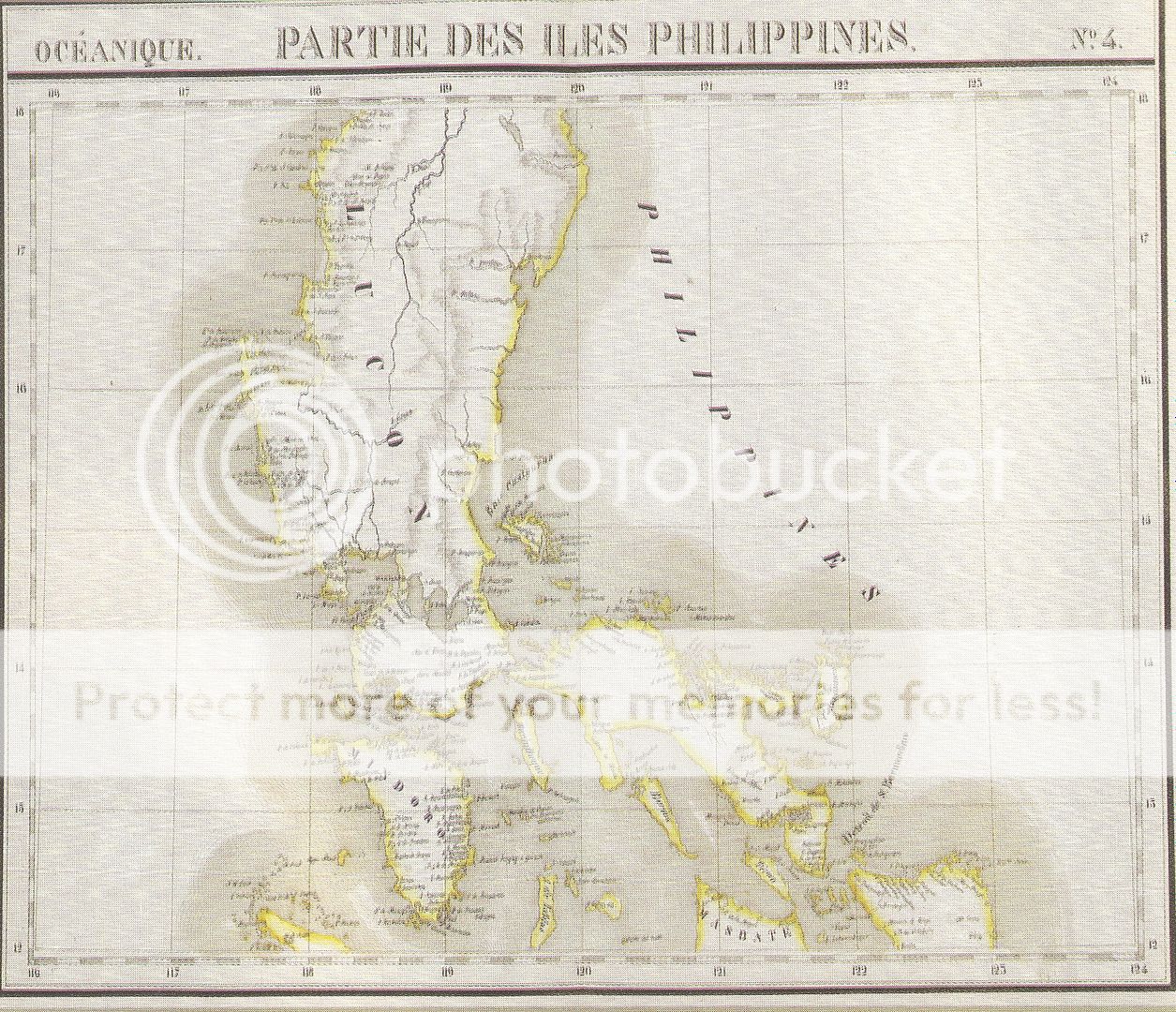
Philippe Vandermaelen, Brussels, 1827. Partie des Iles Philippines.

Philippe Vandermaelen, Brussels, 1827. Partie des Iles Philippines.


Walter Blackie, London, 1860. The Philippine Islands.

Edward Weller, London 1861. The Philippine Islands.

in the ninth edition's entry on the Philippines.

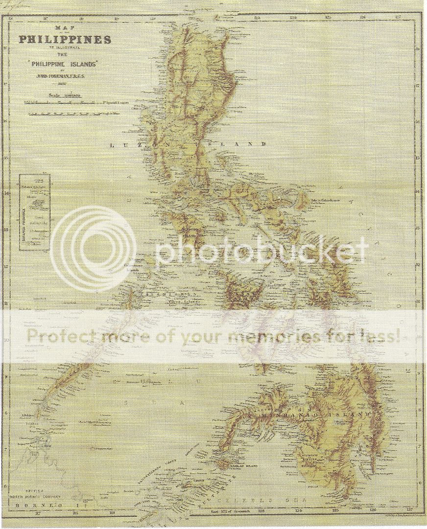
John Foreman, London, 1890, Map of the Philippines.
This map was in the first edition of Foreman's book which had two later editions.

H. Miralles, Barcelona, 1896. Islas Filipinas


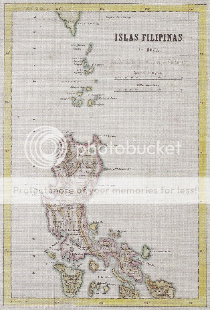
"Cronica de las Islas Filipinas" published by Rubio. Grilo and Vitturi

Fernando Fulgosio, Madrid, 1871. Islas Filipinas. This was included in the
"Cronica de las Islas Filipinas" published by Rubio. Grilo and Vitturi

W. Weisauer, Vienna, 1878. Karte von Nord-Luzon.

Sud Luzon. Map showing the route of Dr. Richard von Drasche.


Allain Mallet, Paris, 1683. Manille


* * * * * * * *
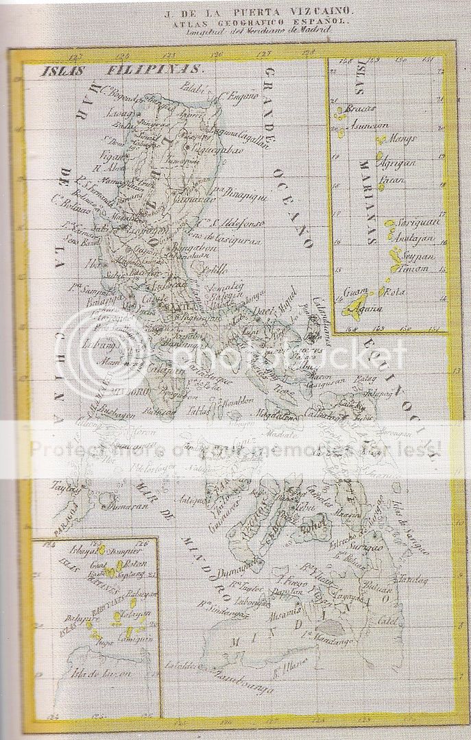
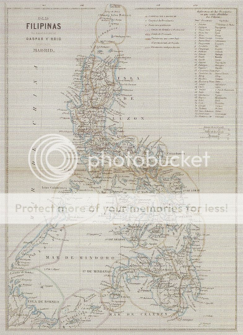
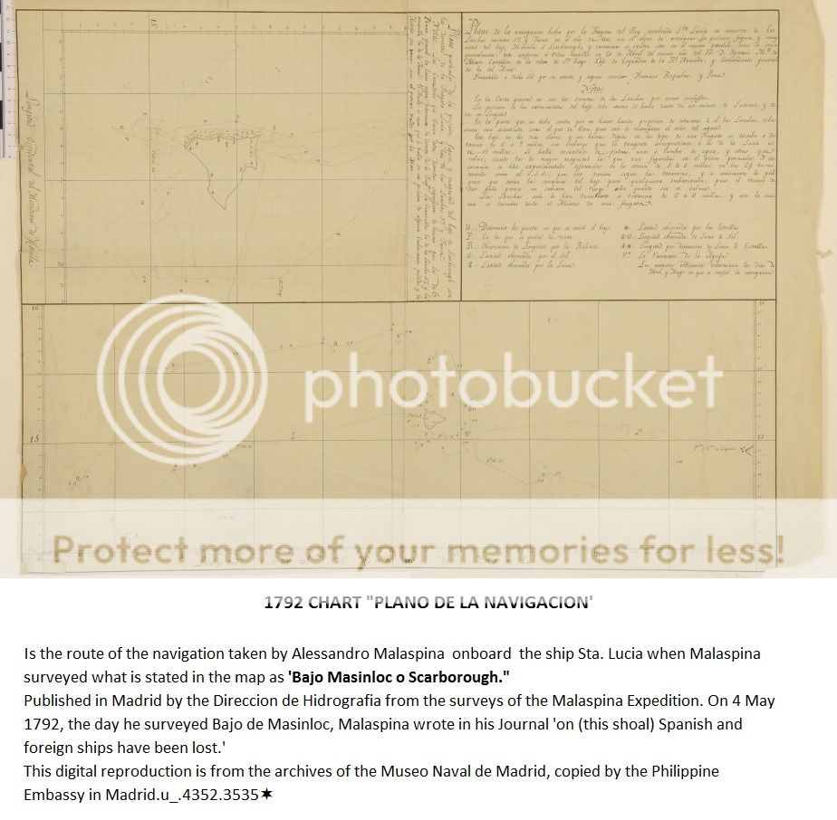
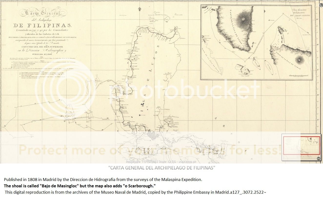
Spanish maps showing Scarborough shoal and Spratly is part of Spanish Filipinas.


* * * * * * * * *
Related web link:
SC Associate Justice presents old Chinese maps
Philippines
fortifies sea claim with 300-year-old map
http://cnnphilippines.com/news/2015/06/08/Philippines-fortifies-sea-claim-with-300-year-old-map.html
http://cnnphilippines.com/news/2015/06/08/Philippines-fortifies-sea-claim-with-300-year-old-map.html
Top
Philippine judge uses Chinese maps vs China
Geopolitics of Scarborough Shoal
SCARBOROUGH
SHOAL - Long history of PH management
http://opinion.inquirer.net/42821/long-history-of-ph-management
Ang batuhan na kinamkam ng China.
http://jaimedelacruzblog.blogspot.com/2013_01_01_archive.html
Permanent
Court of Arbitration - Philippines versus China
West
Philippine Sea Arbitration - Philippines won in First round.
Global Day of Prayer for Peace and Victory in the West
Philippine Sea
MARCHA
infront of China Consulate at Makati City
We must
recover our Scarborough Shoal from China's illegal occupation.
China
constructing Artificial Islands in some reefs of our Kalayaan Islands Group in
West Philippine Sea.
Martsa para
sa Kalayaan infront of PRC Chinese Embassy at Makati
The
Philippines should be more aggressive in the Spratlys.
Historical
Fiction : China's South China Sea Claims.
BRP Sierra
Madre at Ayungin Shoal - Philippine's Last Line of Defense Against China's
Agression.
* * * * * * *
SC Associate Justice presents old Chinese maps
This
300-year-old Philippine map shows Scarborough Shoal
*******************************************
*******************************************
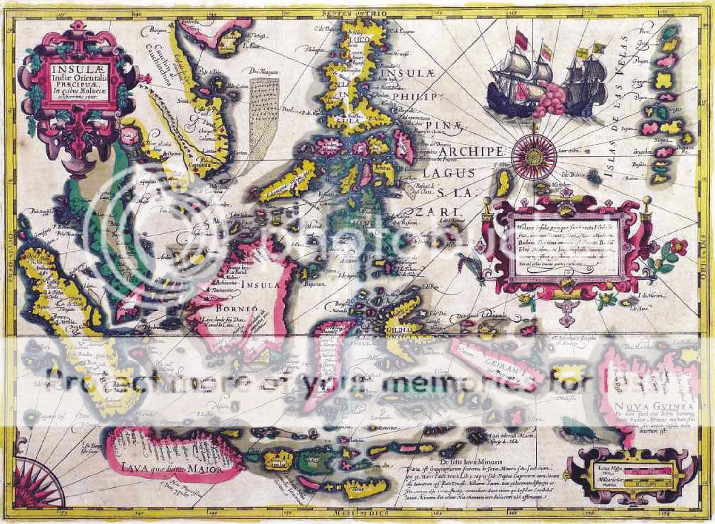
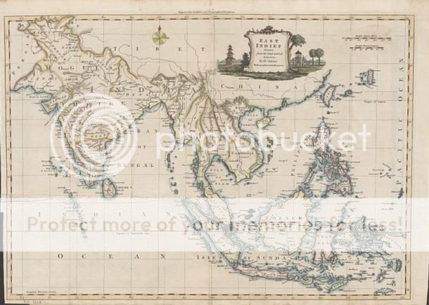
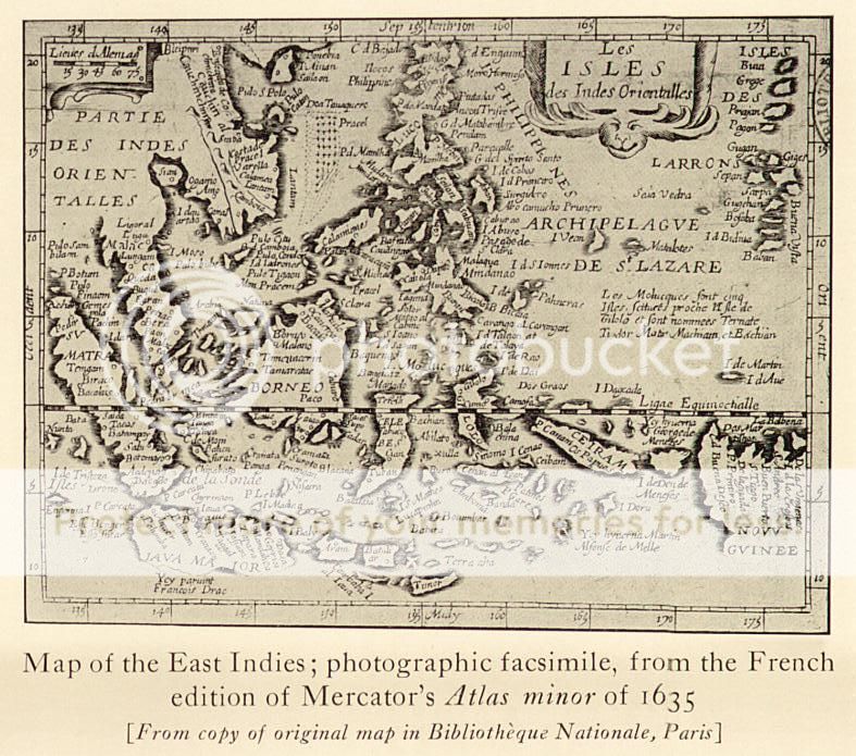
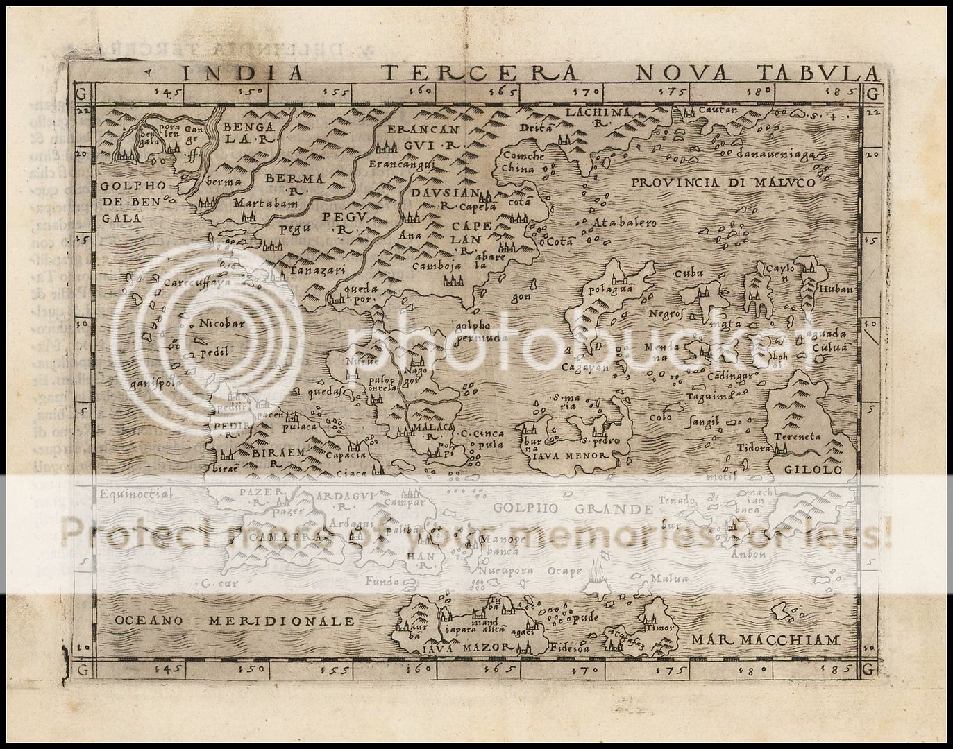
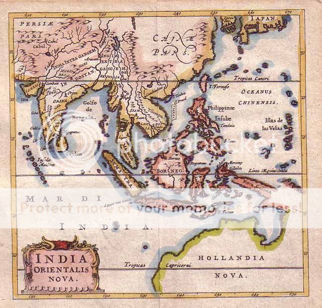
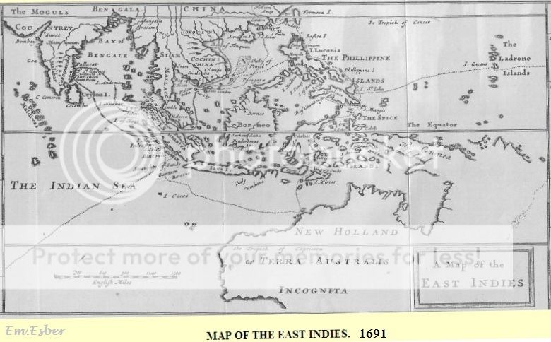
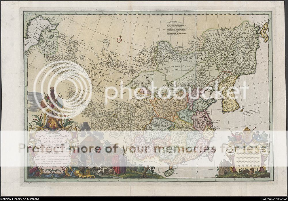
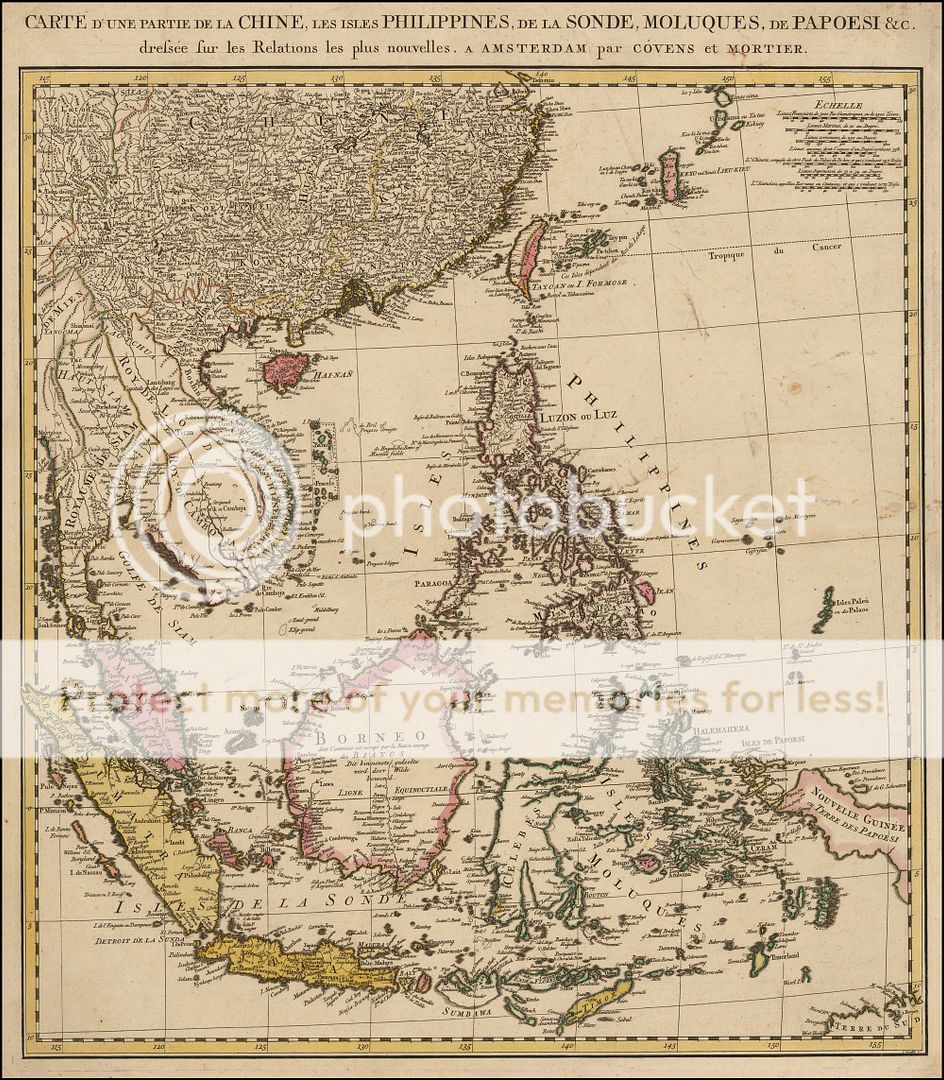
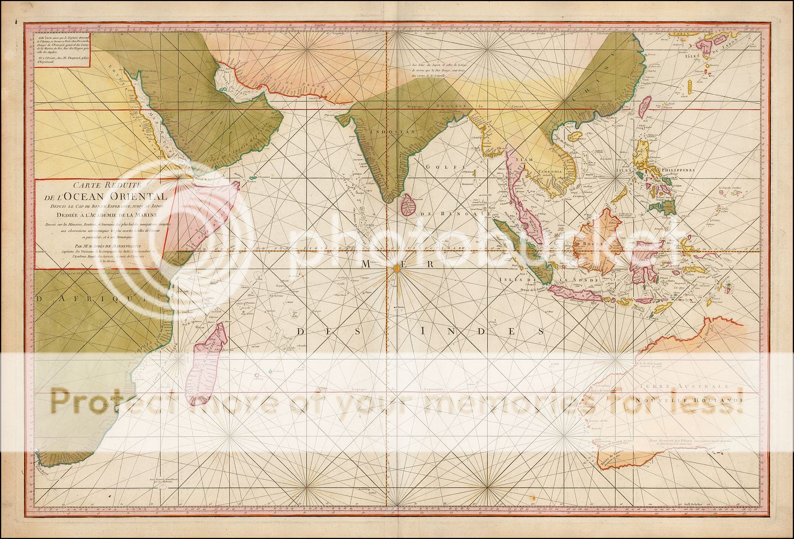
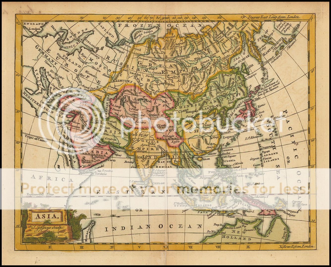
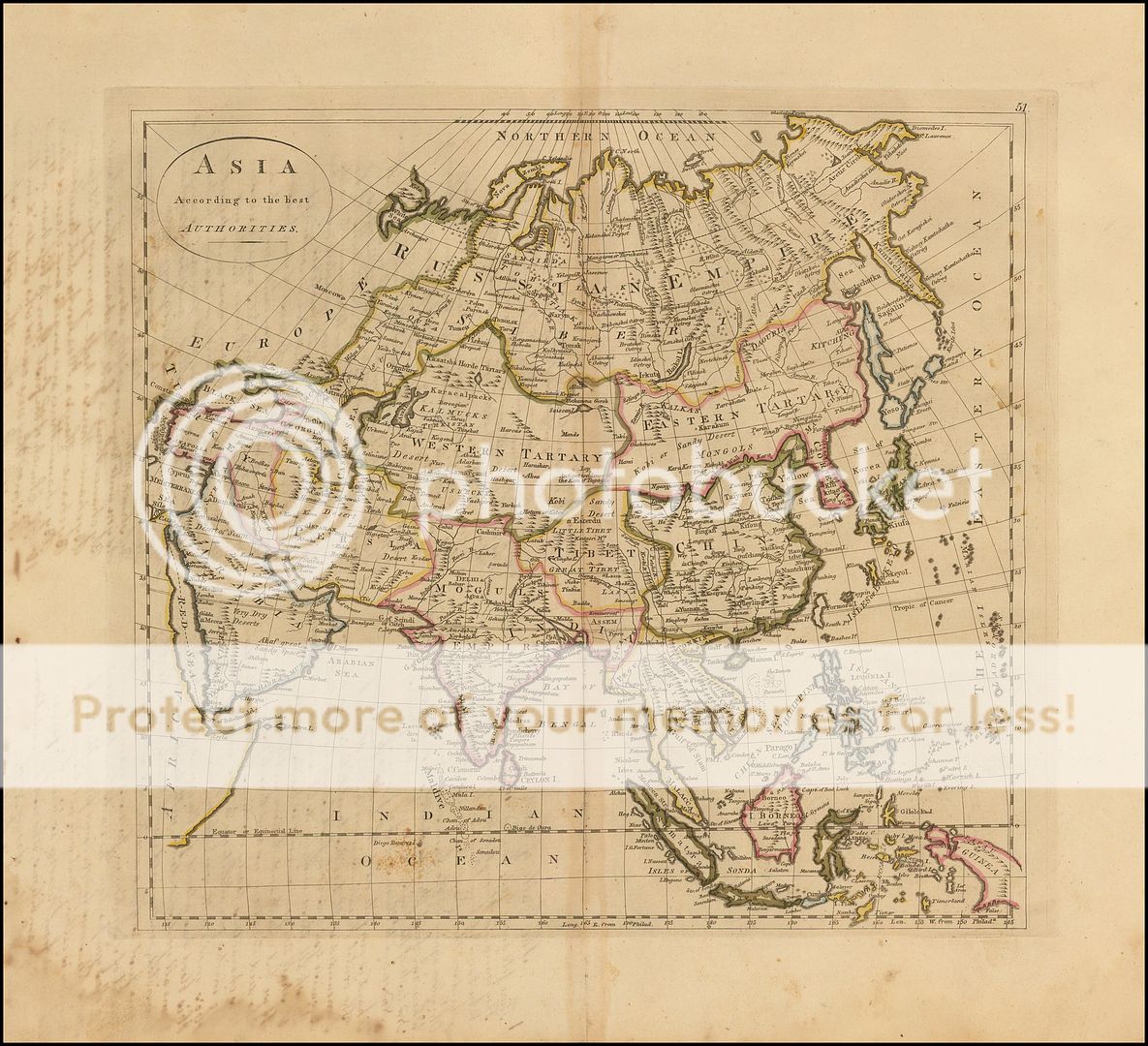
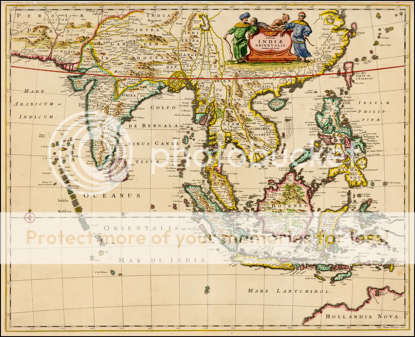
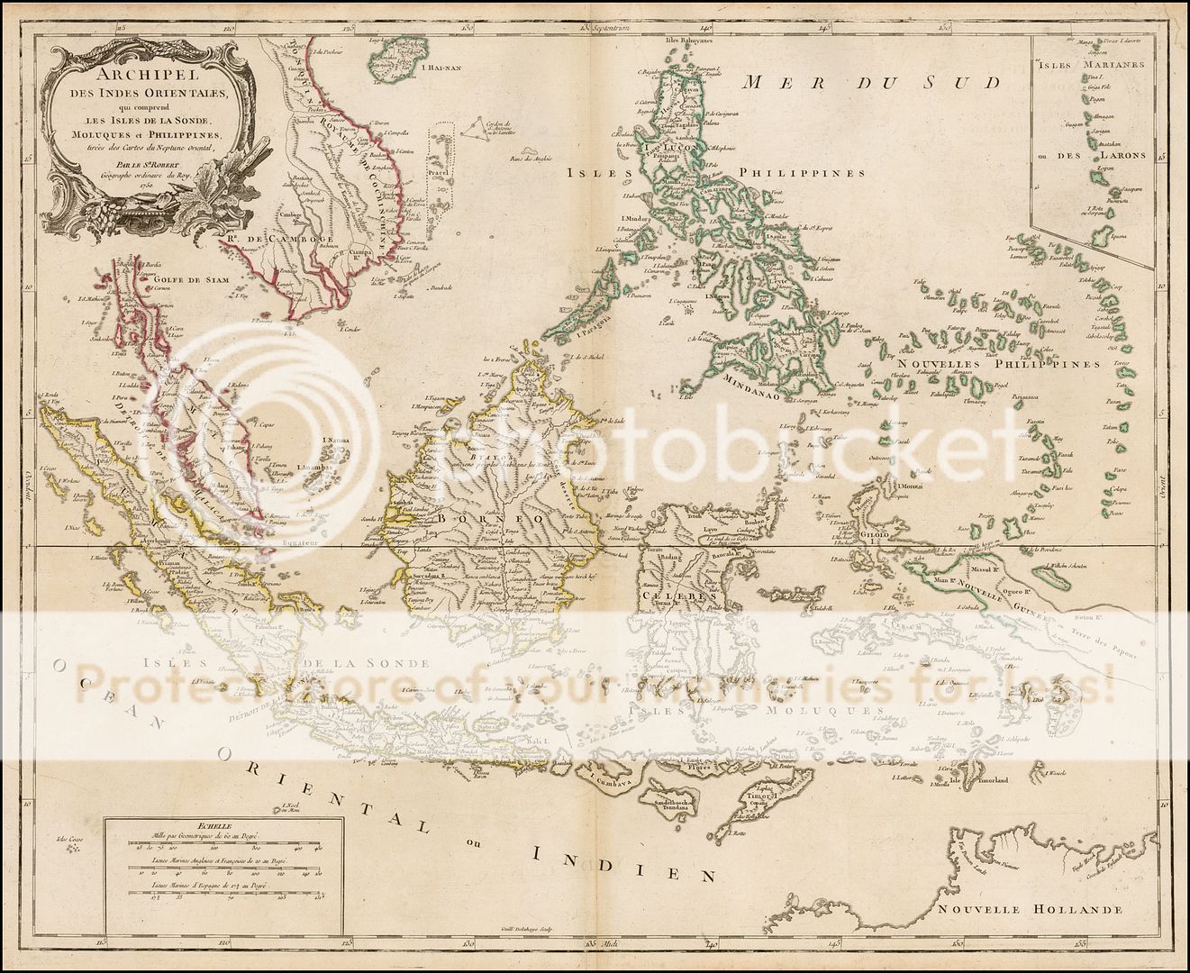
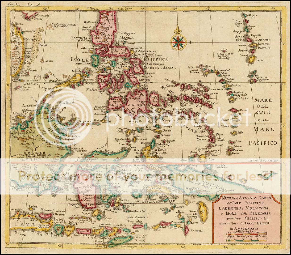
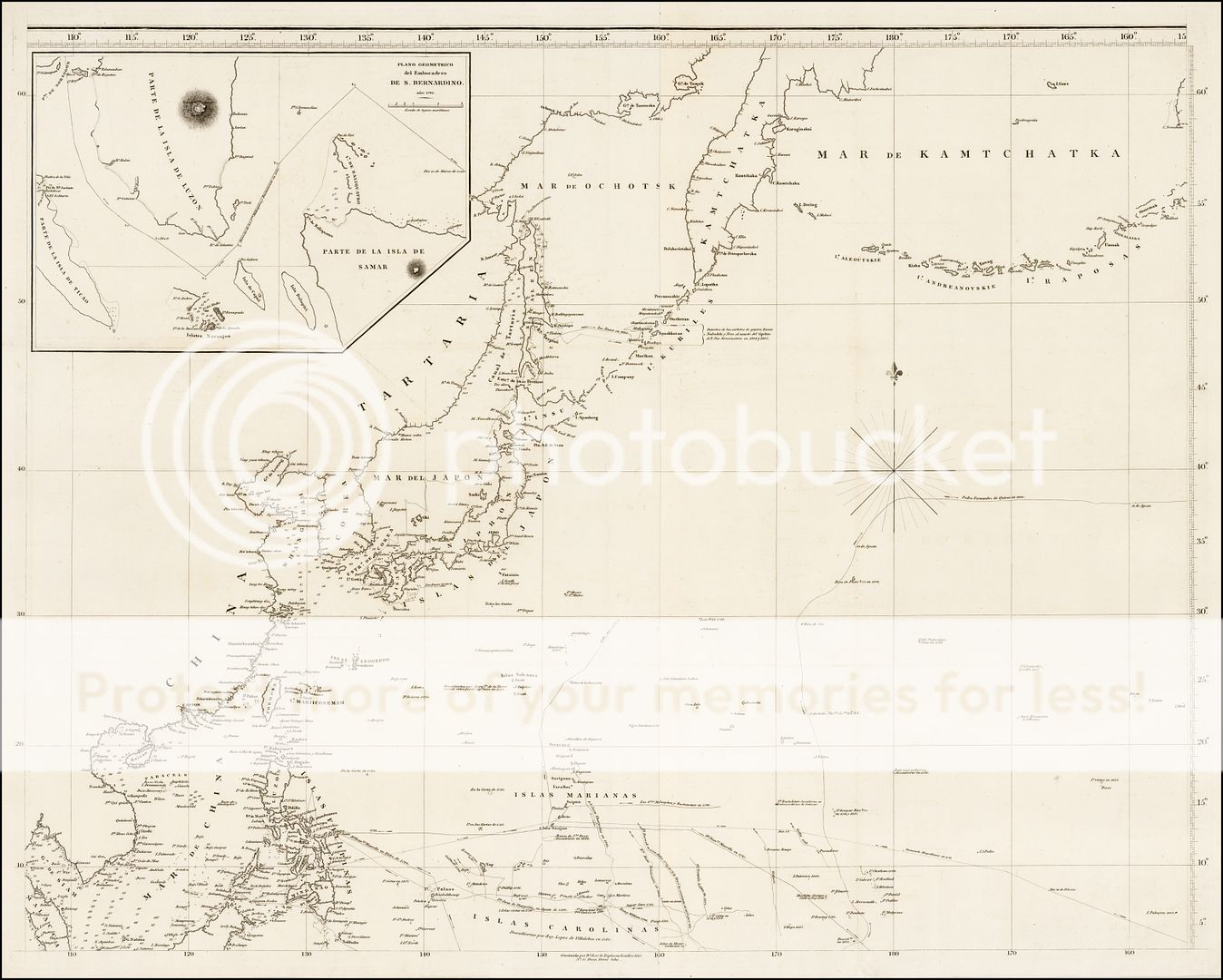
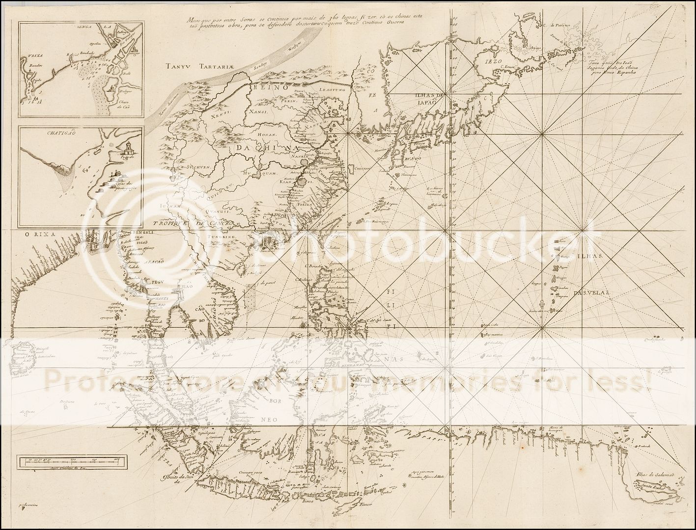
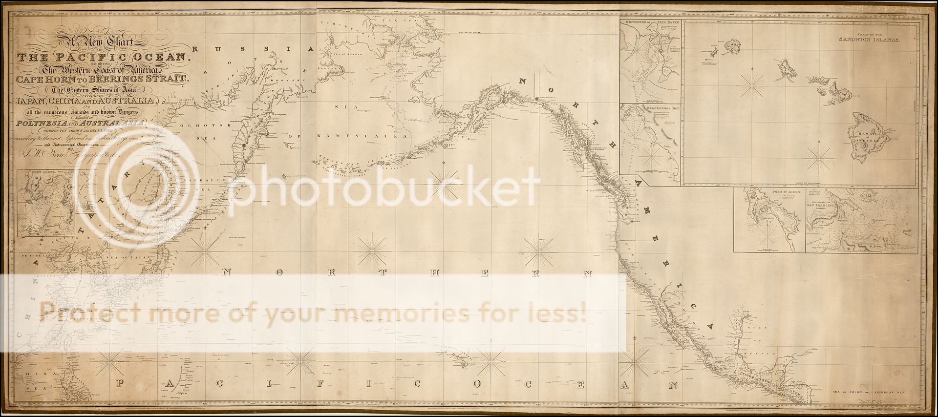
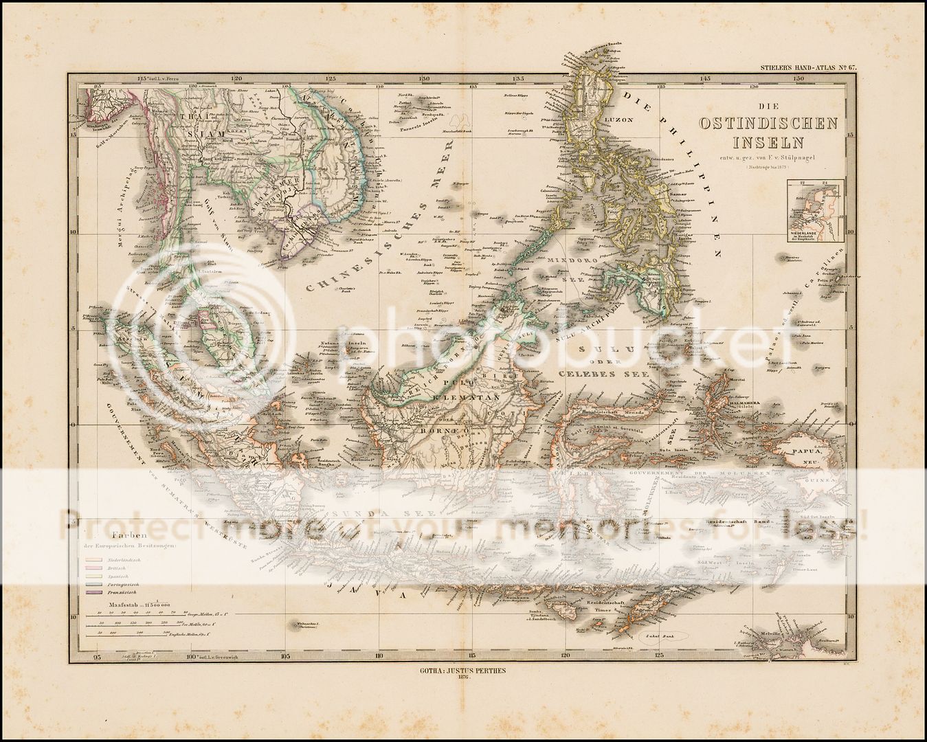
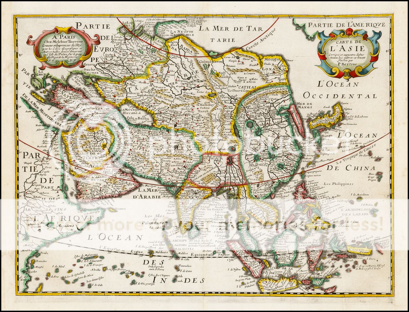
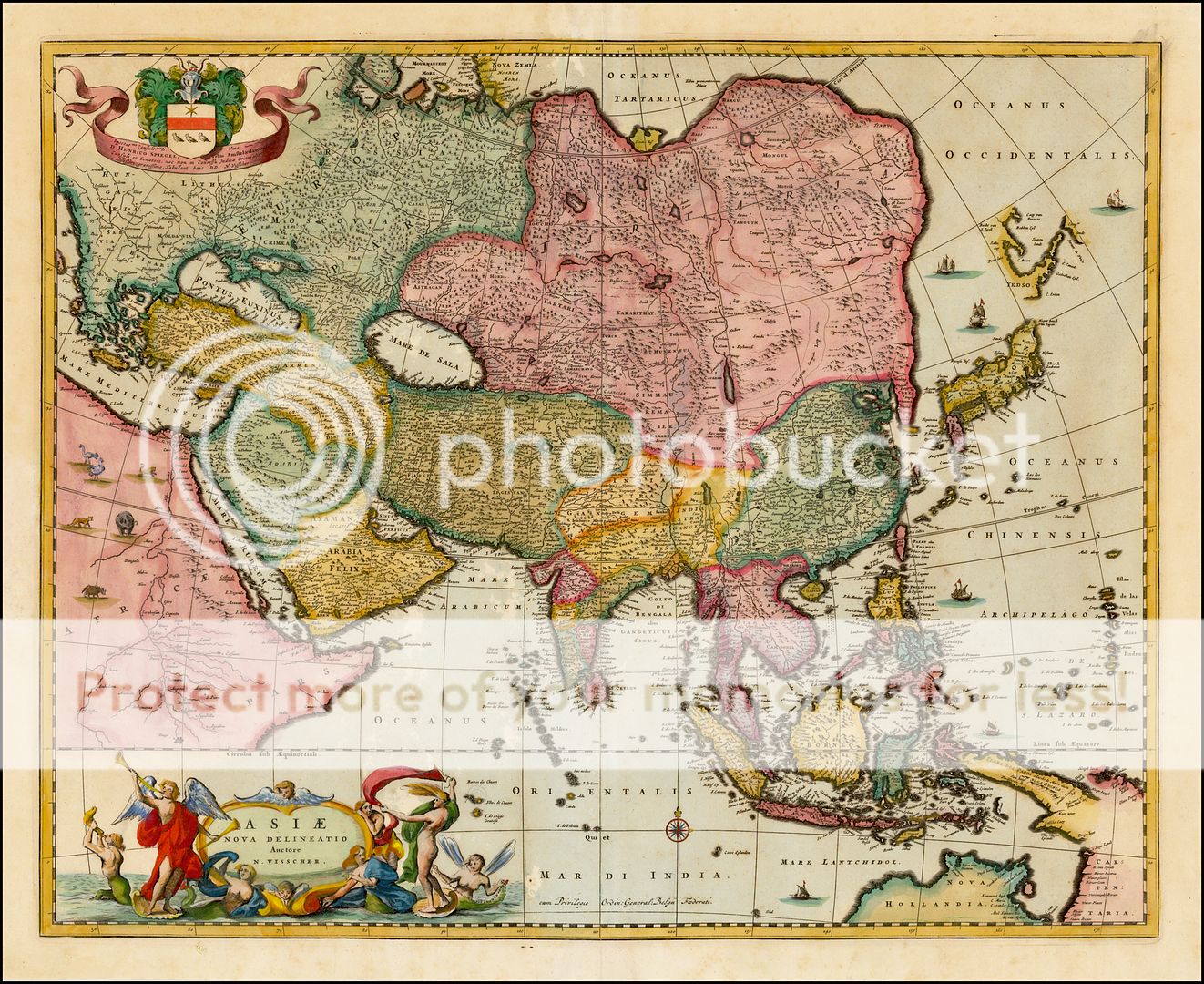
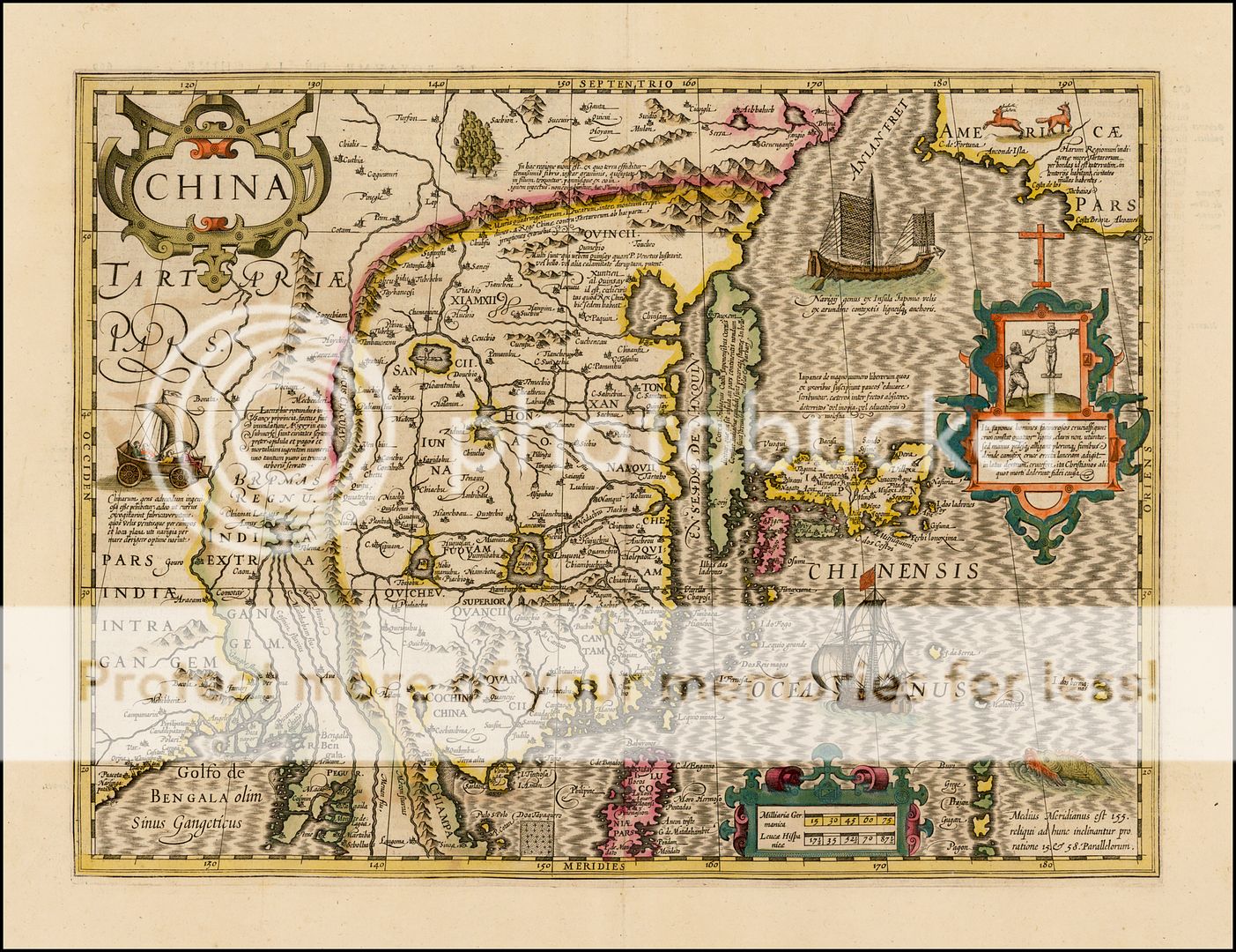
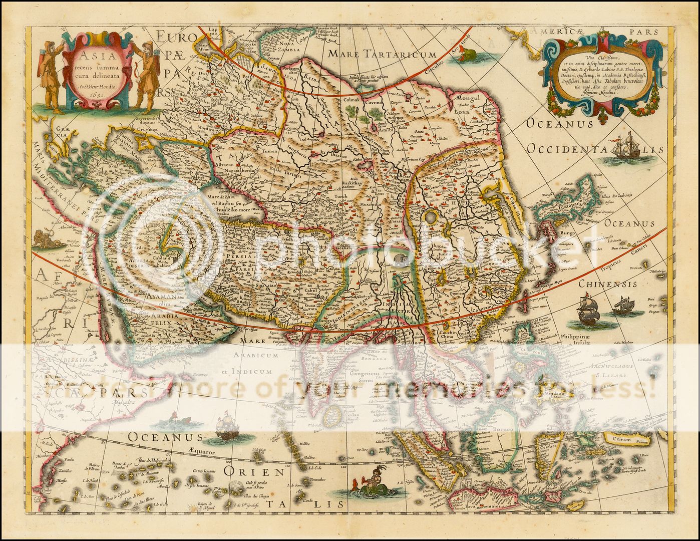
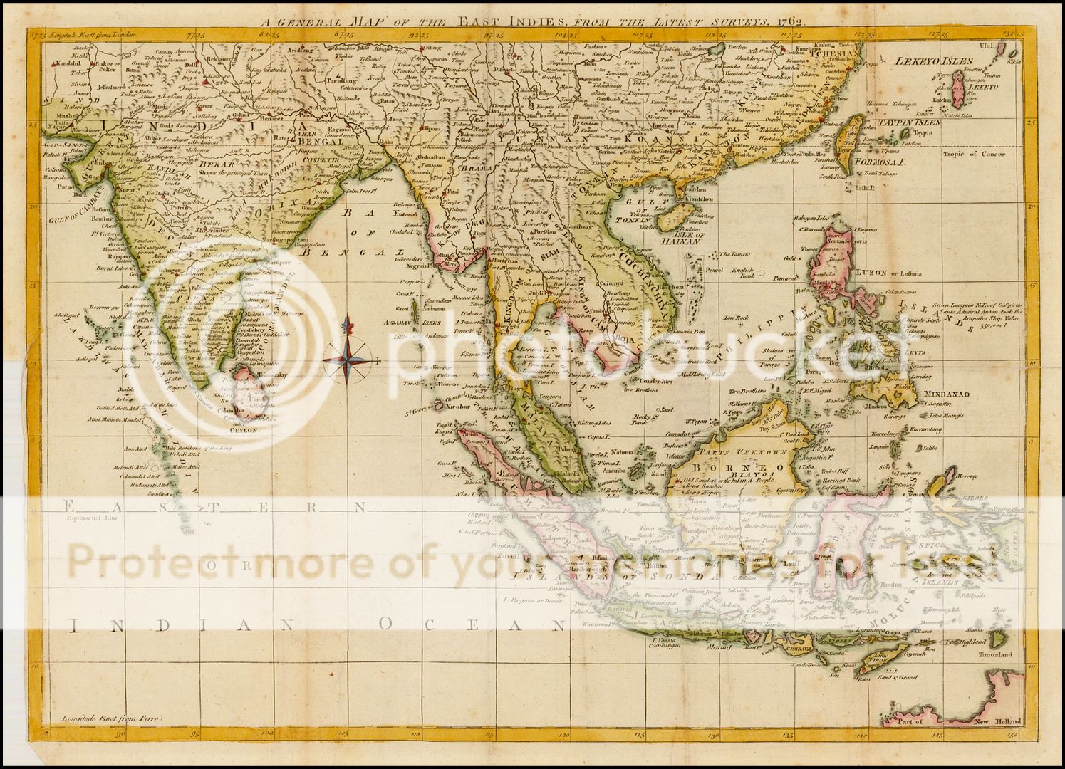
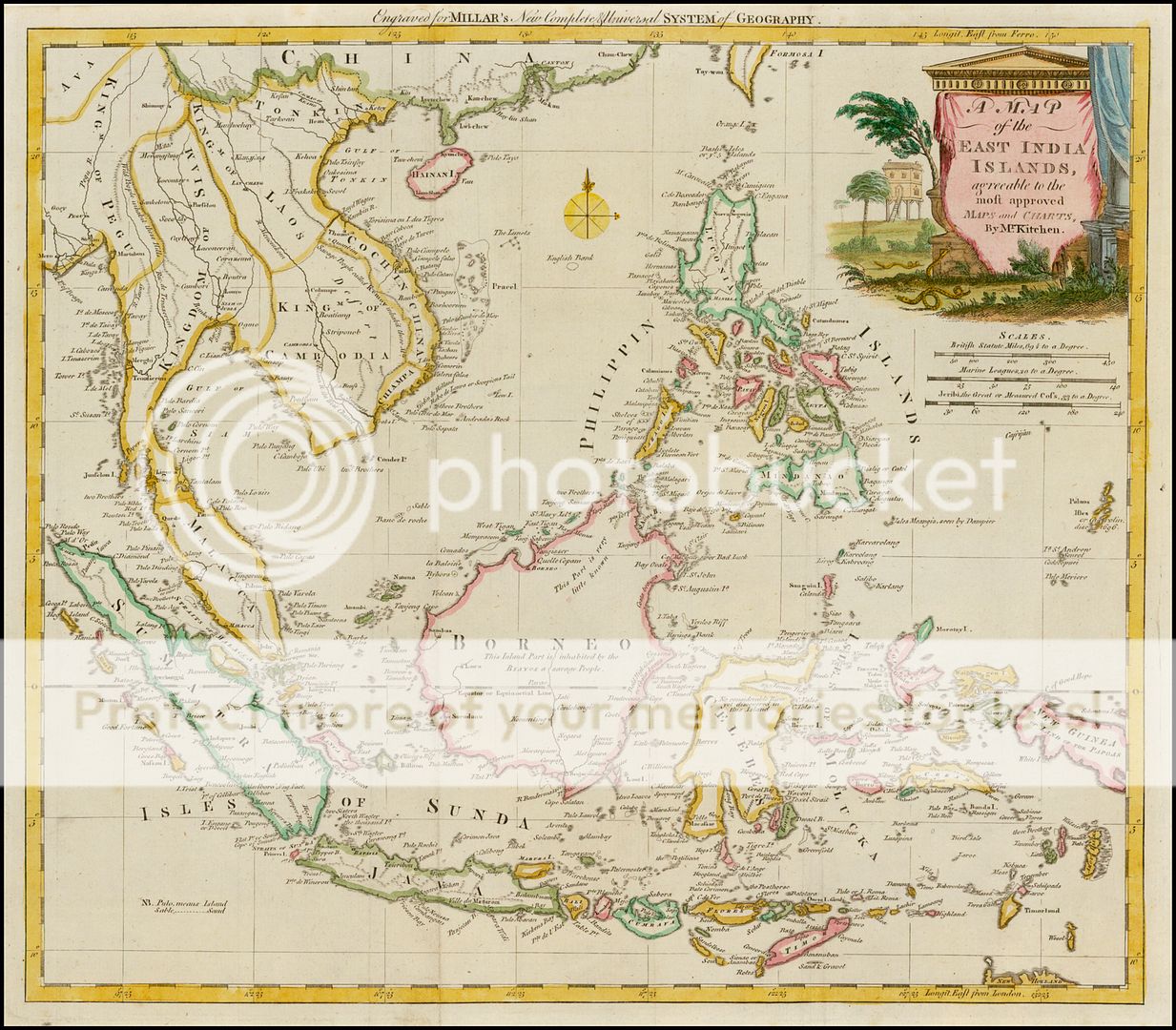
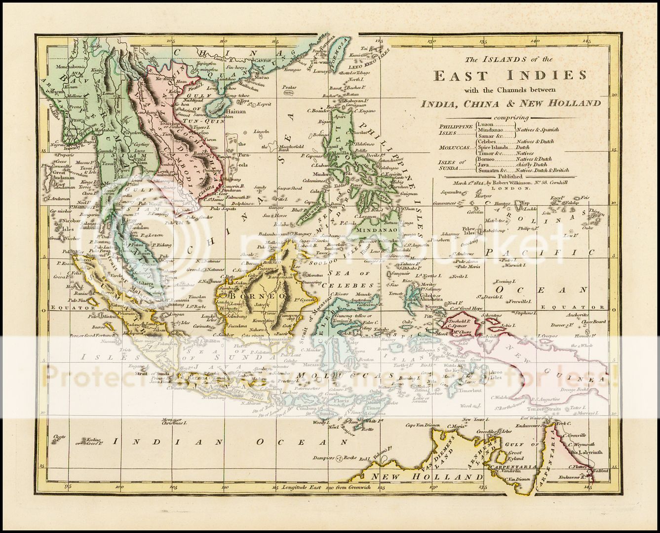
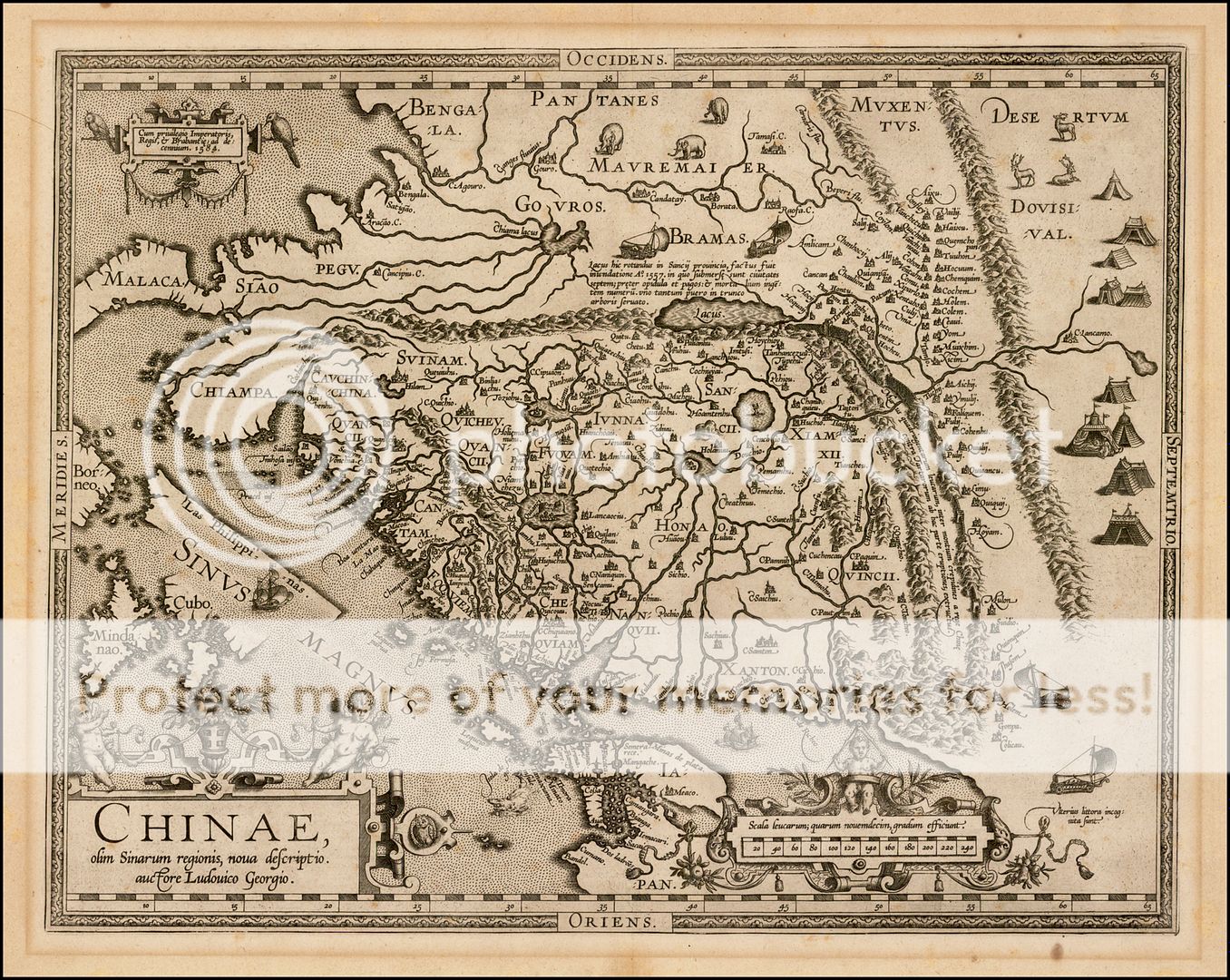
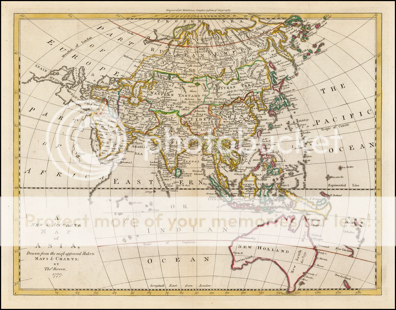
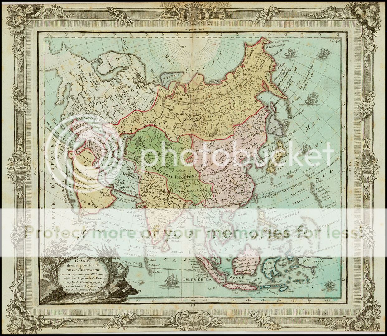
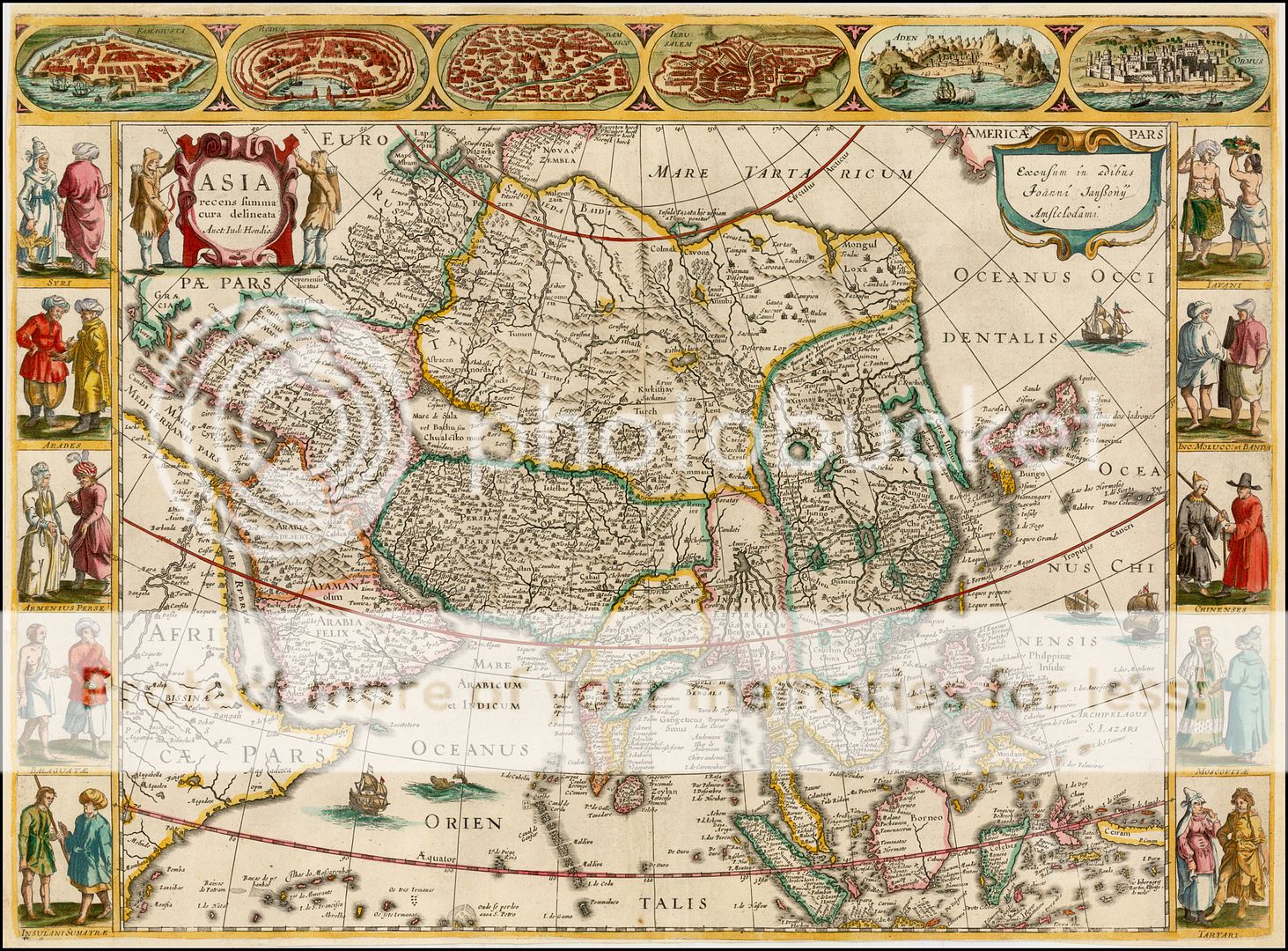
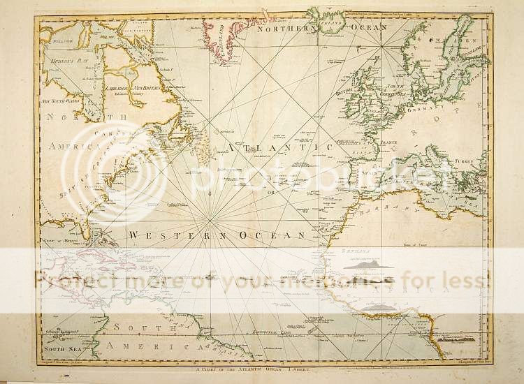
Other maps of Asia and the Philippines


No comments:
Post a Comment