Our ship sailed from Yokohama Japan on the afternoon of 24th September 2012 bound for the port of Subic and Manila in the Philippines laden with steel coils, motor vehicles, heavy equipments and general cargo.
However on the 26th of September we have calculated that the coming Typhoon Number 1217 with international code name of "Jelawat", with about 90 knots wind shall encounter us in Okinawa or Taiwan depending on her tracks and speed of movement. Taking into account the safety of the vessel, cargo and crew, we decided to enter the Typhoon sheltering anchorage at Satsukawa Wan, Amami Island, Japan.

Weather Report - track of typhoon 1217 Jelawat


Chart / Map of Amami island in Japan.


Satsukawa Wan anchorage in Amami Island of Japan. It is one of officially designated typhoon sheltering anchorage in Japan.

With the permission of Japanese Coast Guard we entered the west part of Amami island on the 27th of September at about 1000 hours JST.

Entering Amami Island from West.


The strait leading to Satsukawa Wan - typhoon shelter anchorage.


Our vessel at anchored in Satsukawa Wan typhoon shelter in Amami Island of Japan.

View of the north coast of Satsukawa Wan - 27th September 2012.

View of the north coast of Satsukawa Wan - 27th September 2012.
Below were the views of Satsukawa Wan anchorage


Photos on 29th September before the onslaught of Typhoon 1217 (International name - Jelawat).
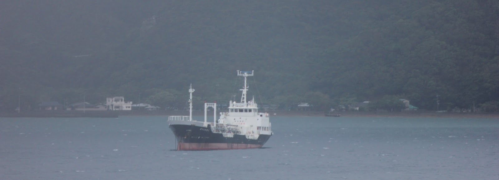


A Japanese Coast Guard vessel at anchored at Satsukawa Wan.


Our ship's anchoring position during the onslaught of the typhoon "Jelawat".

Weather Report before the approach of Typhoon Jelawat which passed just 30 miles from our anchoring position at Satsukawa Wan in Amami island, Japan.

The Typhoon 1217 with International code name of "Jelawat" originated in the Philippine Sea and her track passed near Okinawa and Amami island.
We experienced the worst occurences during typhoon from noon of 29th September till the morning of 30th September when the typhoon passed 30 miles from Amami island with the wind force of about 90 knots (90 nautical miles per hour) or about 45 kilometers per hour.
With the grace of God we survived the onslaught of the typhoon where we have maneuvered using our ship's main engine by moving against the wind to prevent dragging of our anchor which may bring our ship to rocks and shallow part of the sheltering anchorage of Satsukawa Wan.
We arrived in Subic at dawn of 4th October 2012.
RELATED BLOG POSTINGS :
Port of Mariveles and the
coal-run Power Plant in Mariveles, Bataan http://jibraelangel2blog.blogspot.com/2012/09/mariveles-port-and-coal-run-power-plant.html
Views of Bongao Island of Tawi
Tawi Province and a photos of passing Indonesian submarine. http://jibraelangel2blog.blogspot.com/2012/02/photos-of-indonesian-submarine-kri.html
The Days of my Seafarer’s Life
Luneta Seafarer's Centre – Manila
My sea voyage with my wife onboard MV Handy River
Youtube Video :
http://youtu.be/rwE13A5JKto
http://www.youtube.com/watch?v=rwE13A5JKto