Manila Bay is a natural harbour which serves the Port of Manila (on Luzon), in the Philippines. The bay is considered to be one of the best natural harbours in Southeast Asia and one of the finest in the world. Strategically located around the capital city of the Philippines, Manila Bay facilitated commerce and trade between the Philippines and its neighbouring countries, becoming the gateway for socio-economic development even prior to Spanish occupation. With an area of 1,994 km2 (769.9 sq mi), and a coastline of 190 km (118.1 mi), Manila Bay is situated in the western part of Luzon and is bounded by Cavite and MetroManila on the east, Bulacan and Pampanga on the north, and Bataan on the west and northwest.
Manila Bay drains approximately 17,000 km2 (6,563.7 sq mi) of watershed area, with the Pampanga River contributing about 49% of the freshwater influx. With an average depth of 17 m (55.8 ft), it is estimated to have a total volume of 28.9 billion cubic metres (28.9 cubic km). Entrance to the bay is 19 km (11.8 mi) wide and expands to a width of 48 km (29.8 mi). However, width of the bay varies from 22 km (13.7 mi) at its mouth and expanding to 60 km (37.3 mi) at its widest point.
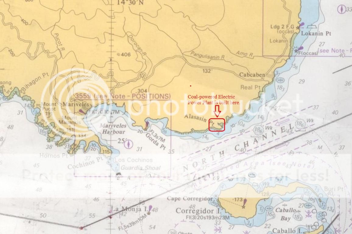
The islands of Corregidor and Caballo divides the entrance into two channels, about 2 miles (3.2 km) towards the North and 6.5 miles (10.5 km) wide on the South side. Mariveles in the province of Bataan is an anchorage just inside the northern entrance and Sangley Point is the former location of Cavite Naval Base.
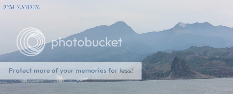
On either side of the bay are volcanic peaks topped with tropical foliage: 40 km to the north is the Bataan Peninsula and to the south is the province of Cavite
.
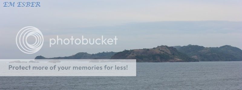
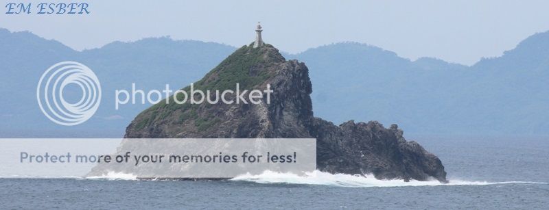
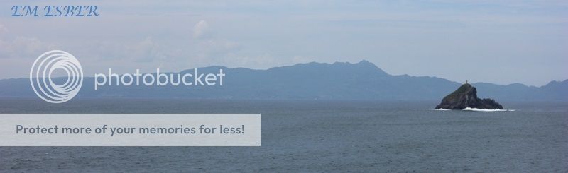
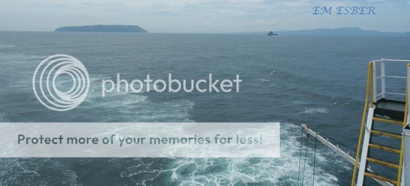
Across the entrance to Manila Bay are several islands, the largest of which is Corregidor, located 3 kilometres from Bataan and, along with the island of Caballo, separates the mouth of the bay into the North and South Channels. In the south channel is El Fraile Island and outside the entrance, and to the south, is Carabao Island. El Fraile, a rocky island some 4 acres (1.6 ha) in area, supports the massive concrete and steel ruins of Fort Drum, an island fortress constructed by the United States Army to defend the southern entrance of the bay.
To the immediate north and south are additional harbors, upon which both local and international ports are situated. Large number of ships at the North and South harbors facilitate maritime activities in the bay. Being smaller of the two harbors, the North Harbor is used for inter-island shipping while the South Harbor is used for large ocean-going vessels.
http://en.wikipedia.org/wiki/Manila_Bay


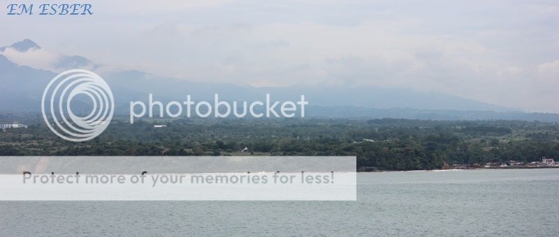
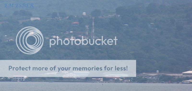
Southeast part of Bataan Peninsula

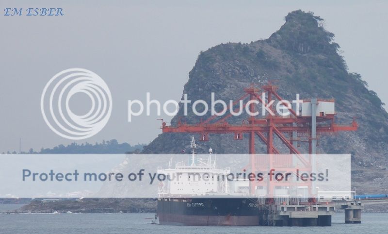
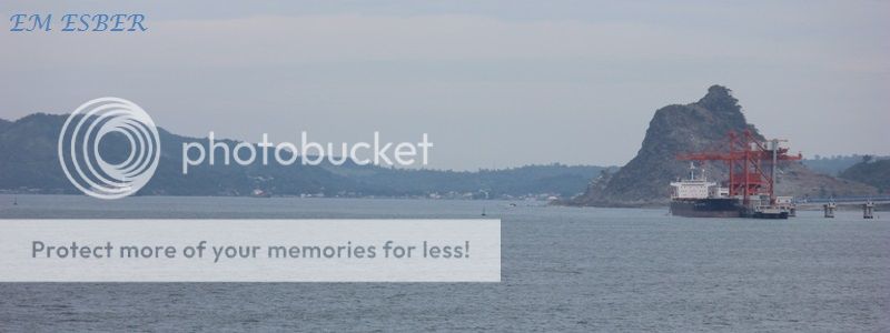
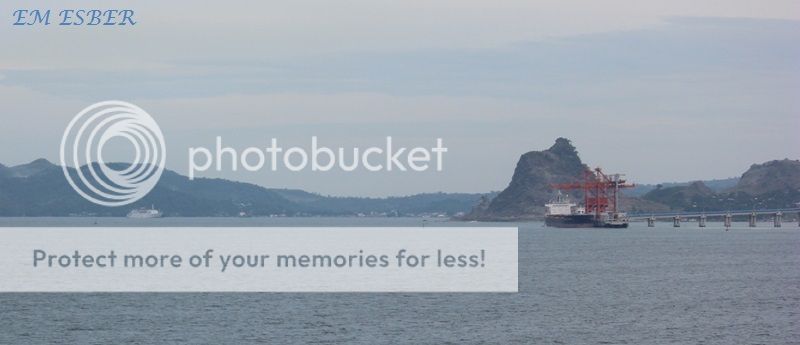
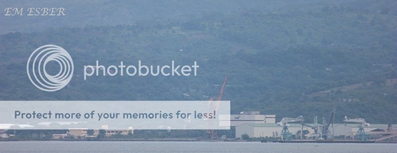
Oil Tanker Pier located on the southeast part of Bataan Peninsula.


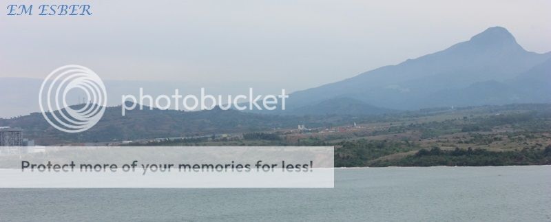


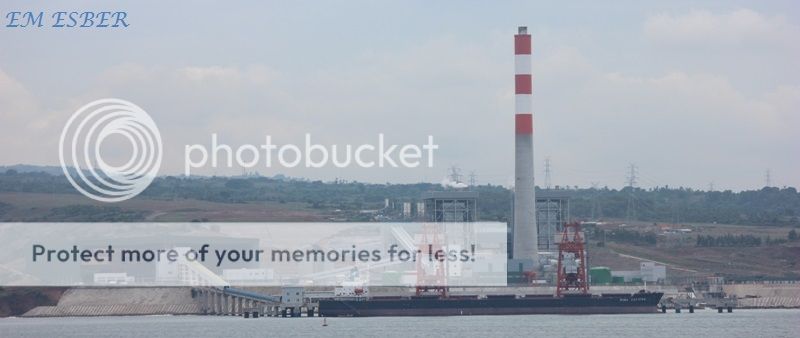
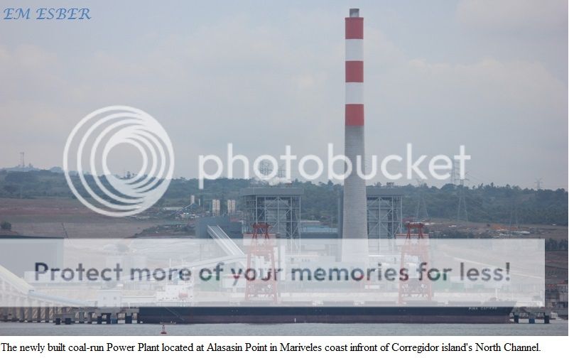
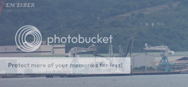
The Power plant located at Alasasin Point is nearby Mariveles Harbor

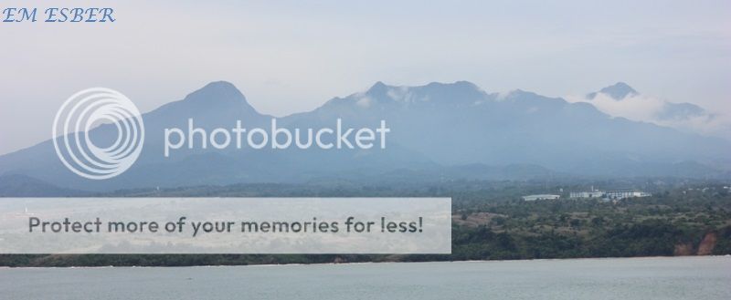
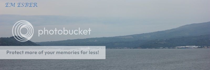
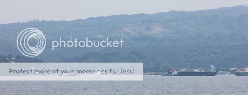
The south part of Bataan Peninsula

On the portside of the vessel is the islet of La Monja which is located
about 2.5 miles west of Corregidor island.

The islet of La Monja

Northwest part of Corregidor island.

North side of Corregidor island infront of North Channel.

North side of Corregidor island infront of North Channel.

Northeast part of Corregidor island.

Northeast part of Corregidor island.

Southeast part of Bataan Peninsula
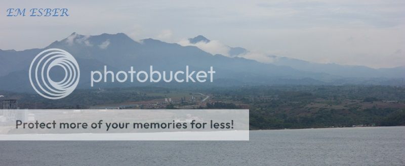

Coal-run Power plant located in Alasasin Point in Mariveles coast.


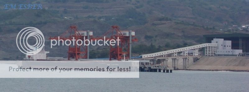


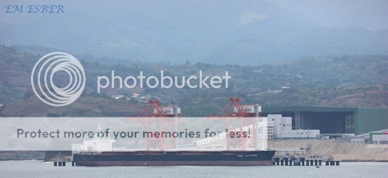


Mariveles Harbor
Mariveles Harbor


Below is the view of Mariveles Harbor


La Monja Isles

The islet of La Monja located on the west side of North Channel.

View of Corregidor island from North Channel.
View of Corregidor island and the islet of La Monja.

View from west of the south coast of Bataan Peninsula and Corregidor island.


View of Mariveles Harbor from the west entrance / exit of North Channel.
Youtube Video :
Related web links :
Photos of
Skyline of Manila – 4th January 2013
Port of Mariveles and the coal-run Power Plant in Mariveles, Bataan http://jibraelangel2blog.blogspot.jp/2012/09/mariveles-port-and-coal-run-power-plant.html
Ayala energy unit seeks stake in Bataan plant expansion