The bay is considered to be one of the best natural harbors in Southeast Asia and one of the finest in the world. It has an area of 1,994 km2 (769.9 sq mi), and a coastline of 190 km (118.1 mi). The entrance is 19 km (11.8 mi) wide and expands to a width of 48 km (29.8 mi). Corregidor Island divides the entrance into two channels, about 2 miles (3.2 km) towards the North and 6.5 miles (10.5 km) wide on the South side. Mariveles, in the province of Bataan, is an anchorage just inside the northern entrance and Sangley Point is the former location of Cavite Naval Base.
On either side of the bay are volcanic peaks topped with tropical foliage: 40 km to the north is the Bataan Peninsula and to the south is the province of Cavite.
Across the entrance to Manila Bay are several islands. The largest is Corregidor, which is 3 kilometers from Bataan and, along with the island of Caballo, separates the mouth of the bay into the North and South Channels. In the south channel is El Fraile Island and outside the entrance, and to the south, is Carabao Island. El Fraile, a rocky island some 4 acres (1.6 ha) in area, supports the massive concrete and steel ruins of Fort Drum, an island fortress constructed by the United States Army to defend the southern entrance of the bay. To the immediate north and south are additional harbors.
The bay was the setting for the Battle of Manila Bay in 1898 and the siege of Corregidor Island by invading Japanese forces in 1942.
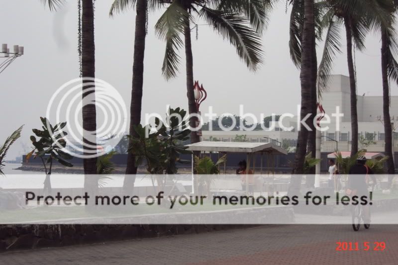
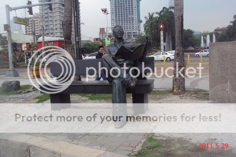
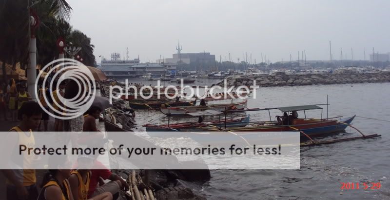
View of Manila Bay and Roxas Blvd from the vicinity of US Embassy to vicinity of Manila YatchClub.
Construction of pedestrian bridge near the US Embassy Complex.
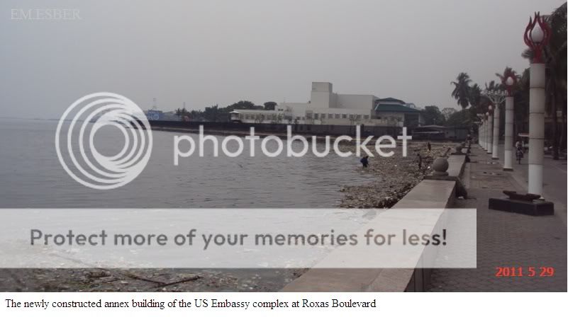
The newly constructed annex building in the US Embassy complex.
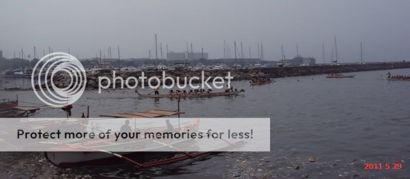
There is a Dragon boat race on this time of the day.
The Province of Batanes is the northernmost and the smallest province of the Philippine Republic, both in terms of population and land area. The provincial capital is Basco.
The province is composed of ten islands, called the Batanes Islands, located about 162 km north of the Luzon mainland in the Luzon Strait and is part of the Cagayan Valley region in Luzon. Of this island group, the largest and only inhabited islands are Itbayat, Batan and Sabtang.
The Batanes Islands are separated from the Babuyan Islands of Cagayan Province by the Balintang Channel and from Taiwan by the Bashi Channel.
The northernmost island of the province, as well as of the Philippines, is Mavudis (Yami) Island. The other islands are Misanga, Siayan, Itbayat, Dinem, Batan, Sabtang, Ivuhos, and Dequey. Only the four largest islands (Batan, Ivuhos, Itbayat and Sabtang) are inhabited.
The Batanes are about 190 kilometers south of Taiwan.
HistoryThe ancestors of today's Ivatans are descended from Austronesians who migrated to the Batanes Islands 4000 years ago during the Neolithic period. They lived in fortified mountain areas called idjangs and drank sugar-cane wine, or palek. They also used gold as currency and produced a thriving agriculture-based industry. They were also seafarers and boat-builders.
In 1687, a crew of English freebooters headed by William Dampier came with a Dutch crew and named the islands in honor of their country's monarchs. Itbayat was named "Orange Isle" in honor of William of Orange, and Batan was named "Grafton Isle" after Henry FitzRoy, 1st Duke of Grafton. Sabtang Isle was named "Monmouth Isle" after the James Scott, 1st Duke of Monmouth. Capt. Dampier stayed for less than three months, and did not claim the islands for the British crown.
In 1783, the Spanish claimed Batanes as part of the Philippines under the auspices of Governor-General José Basco y Vargas. The Bashi Channel had come to be increasingly used by English East India Company ships and the Spanish authorities brought the islands under their direct administration to prevent them falling under British control. However, the Ivatan remained on their idjangs, or mountain fortresses. In 1790, Governor Guerrero ([citation needed] The Governor-general of the Philippines at this point in time is Félix Berenguer de Marquina, unless Guerrero refers to a governor of the Batanes.) decreed that Ivatans were to leave their idjang and to live in the lowlands, thereby giving them more people to tax.
Basco and Ivana were the first towns. Mahatao was then administered by Basco, while Uyugan and Sabtang, by Ivana. Itbayat was not organized until the 1850s, its coast being a ridge. Ivatans were then ordered to dress like the other Filipinos, and it didn't take them long to adapt. Soon, Ilocanos were being put in the islands, so as to control the native population there. Limestone technology used by the Spanish were also being spread to the islands, so that their bridges became strong and fortified. Some of these bridges still remain at both Ivana and Mahatao. By 1890, many Ivatans were in Manila, and became ilustrados, who then brought with them home the revolutionary ideas of the Katipunan. These Ivatans, who were then discontented with Spanish rule, killed the ruling General Fortea and declared the end of Spanish rule.
Toward the end of the Spanish regime, Batanes was made a part of Cagayan. In 1909, however, the American authorities organized it into an independent province. Because of its strategic location, the Batanes island group was one of the first points occupied by the invading Japanese imperial forces at the outbreak of the Pacific War.