View of the coast of Manila - 4th September 2012
( You may enlarge the images by double clicking it with your PC mouse. )

Map of Manila Bay

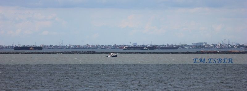
Navotas to Cavite City.

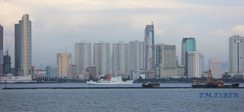
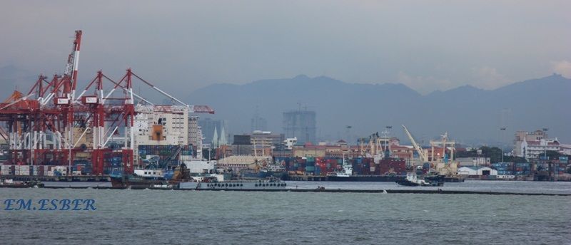
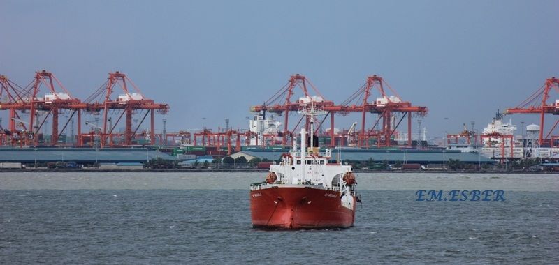
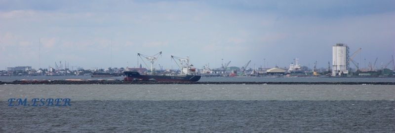
Port of Manila - From Harbor Center in Tondo to South Harbor

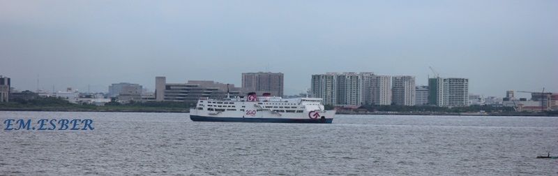
Vicinity of SM Mall of Asia - Paranaque area


Vicinity of Mall of Asia
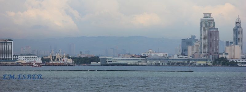
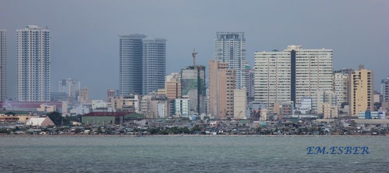
Vicinity of CCP Complex - Manila

Vicinity of CCP Complex
Roxas Blvd - vicinity of Manila Yatch Club Basin
Roxas Blvd - vicinity of Malate district

Roxas Blvd - Vicinity of Ermita district
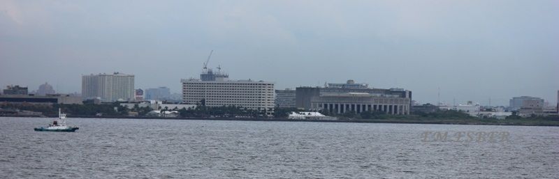
Vicinity of Ermita district of U.S. Embassy complex.
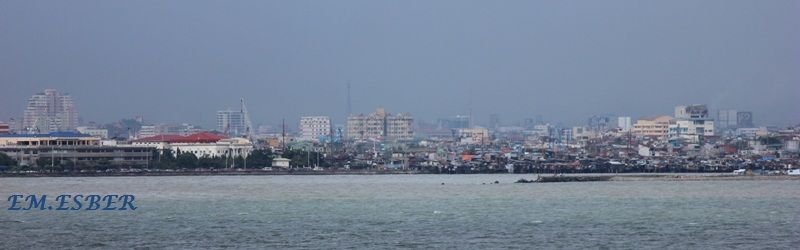
Vicinity of Manila Hotel and U. S. Embassy complex.
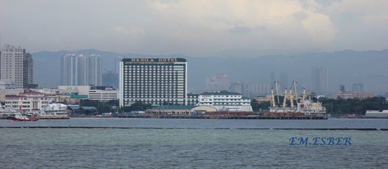
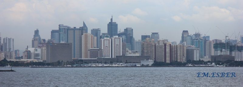
Manila Hotel area and South Harbor's Pier 13 and Pier 15.

Manila Harbor - South Harbor, North Harbor and Harbor Center in Tondo.
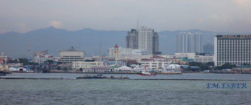
South Harbor - Pier 13 and Pier 15
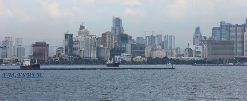
South Harbor - Pier 3 to Pier 9
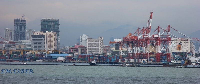
South Harbor - Pier 5
South Harbor - Pier 5
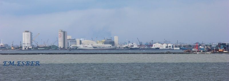
View of Baseco compound located between South Harbor and Pasig River


Engineer island or Baseco compound.

Tondo district near North Harbor
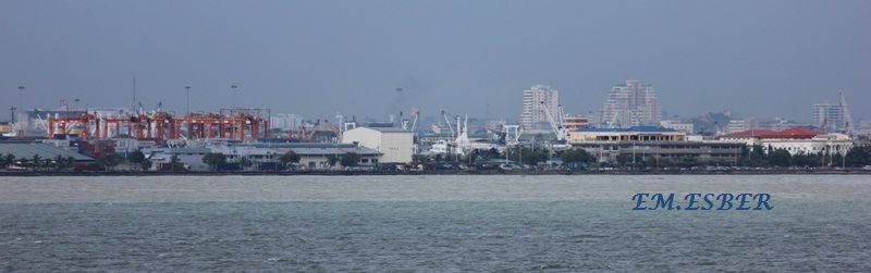
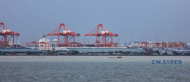
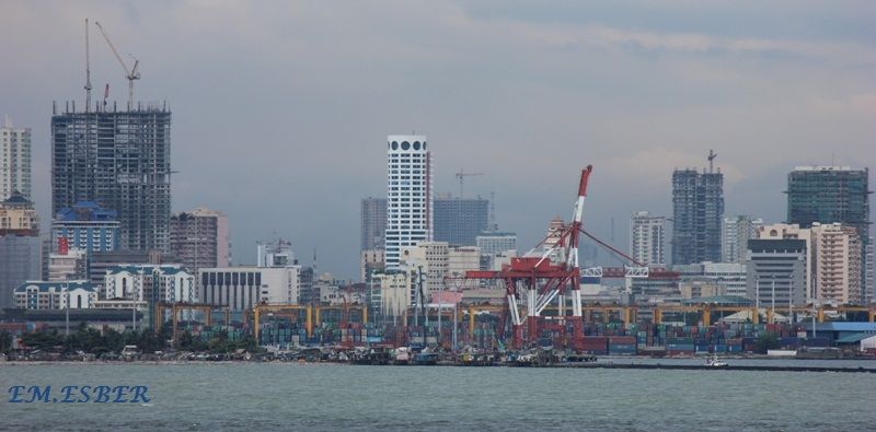
Manila International Container Terminal
Manila International Container Terminal
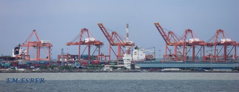
Manila International Container Terminal
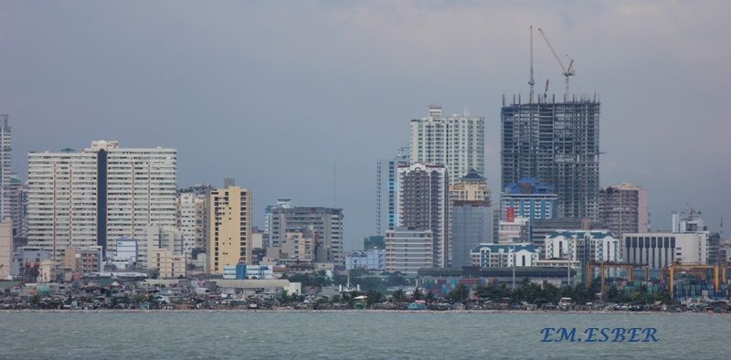
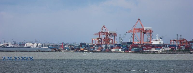
North Harbor
North Harbor
North Harbor
( You may enlarge the images by double clicking it with your PC mouse. )
ATTRIBUTION
LICENSE
You
may use the pictures in this blog under an Attribution License. You are free to
use, share and modify the pictures found in this blog. Should you publish or
otherwise reproduce for distribution the pictures found here in digital or
printed form you must place a link to this blog or indicate the URL of this
blog in your publication.
No comments:
Post a Comment