
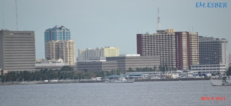
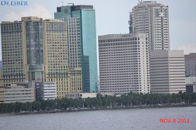
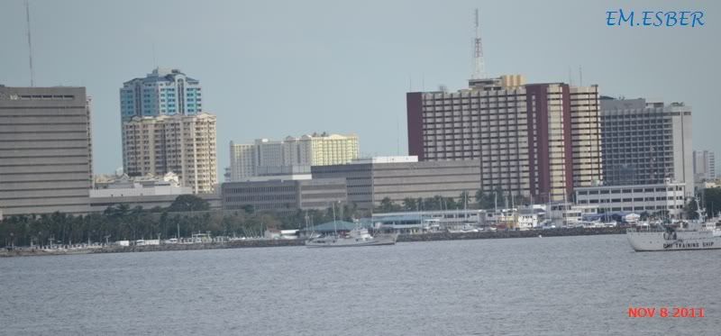
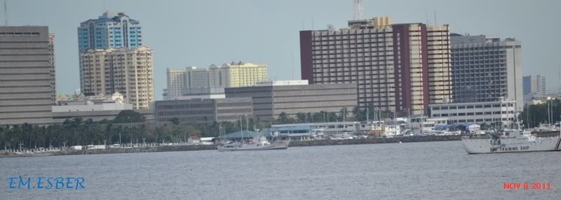
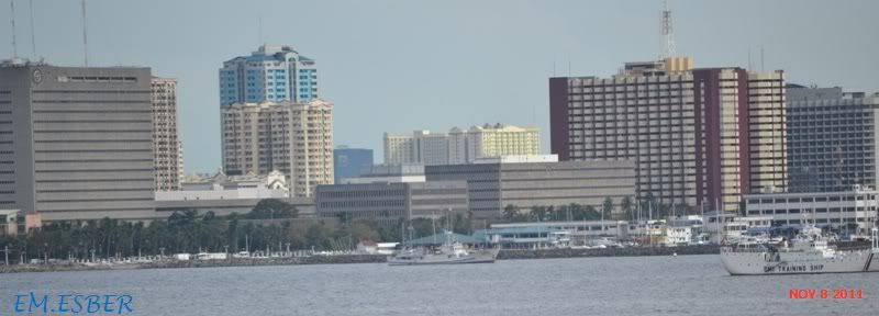
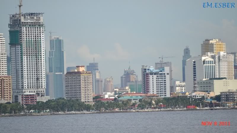
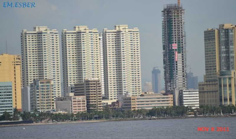
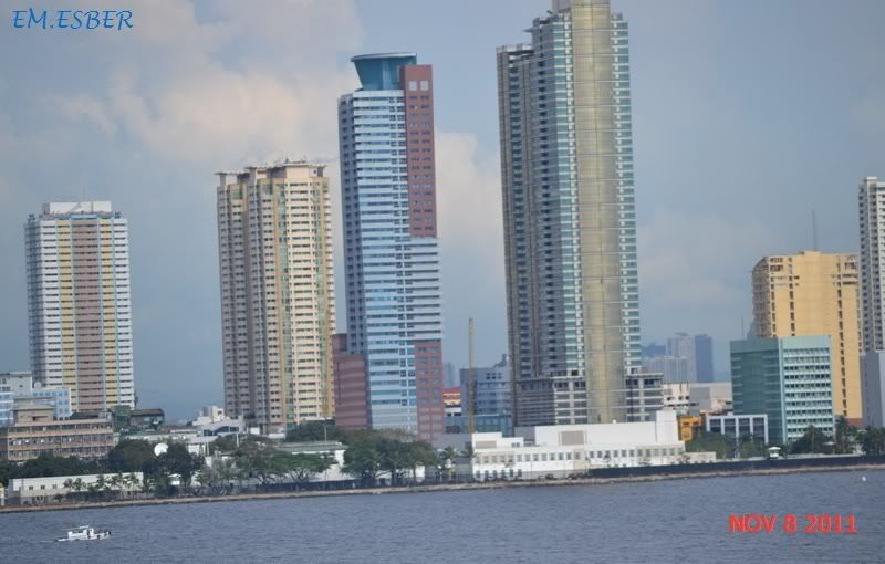
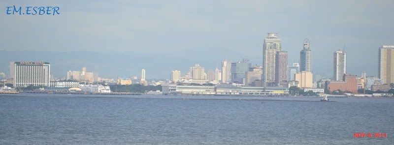
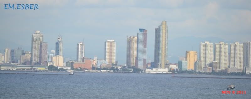
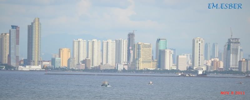
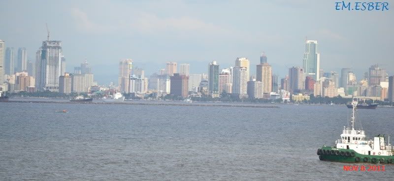
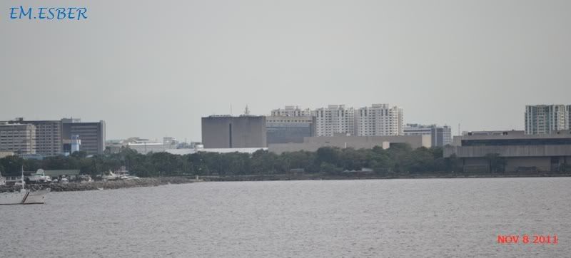
Manila Bay is a natural harbor which serves the Port of Manila (on Luzon), in the Philippines.The bay is considered to be one of the best natural harbors in Southeast Asia and one of the finest in the world. Strategically located around the capital city of the Philippines, Manila Bay facilitated commerce and trade between the Philippines and its neighbouring countries, becoming the gateway for socio-economic development even prior to Spanish occupation. With an area of 1,994 km2 (769.9 sq mi), and a coastline of 190 km (118.1 mi),
Manila Bay is situated in the western part of Luzon and is bounded by Cavite and Metro Manila on the east, Bulacan and Pampanga on the north, and Bataan on the west and northwest. Manila Bay drains approximately 17,000 km2 (6,563.7 sq mi) of watershed area, with the Pampanga River contributing about 49% of the freshwater influx. With an average depth of 17 m (55.8 ft), it is estimated to have a total volume of 28.9 billion cubic meters (28.9 cubic km). Entrance to the bay is 19 km (11.8 mi) wide and expands to a width of 48 km (29.8 mi). However, width of the bay varies from 22 km (13.7 mi) at its mouth and expanding to 60 km (37.3 mi) at its widest point.

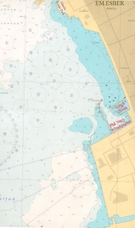
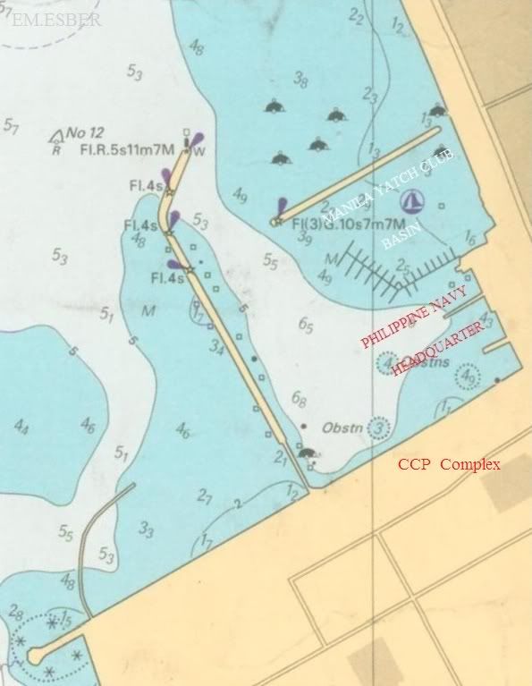
Across the entrance to Manila Bay are several islands, the largest of which is Corregidor, located 3 kilometers from Bataan and, along with the island of Caballo, separates the mouth of the bay into the North and South Channels. In the south channel is El Fraile Island and outside the entrance, and to the south, is Carabao Island. El Fraile, a rocky island some 4 acres (1.6 ha) in area, supports the massive concrete and steel ruins of Fort Drum, an island fortress constructed by the United States Army to defend the southern entrance of the bay.
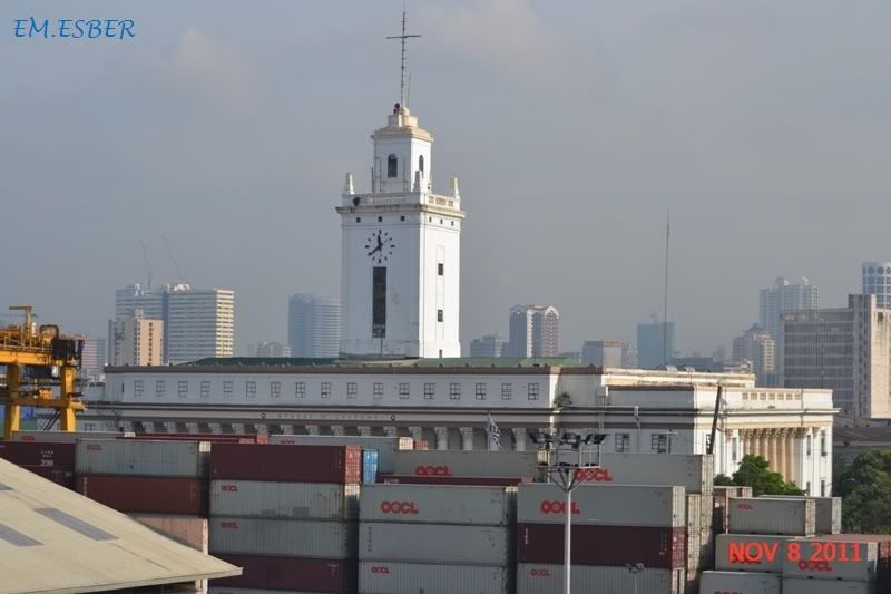
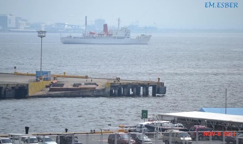
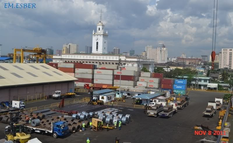
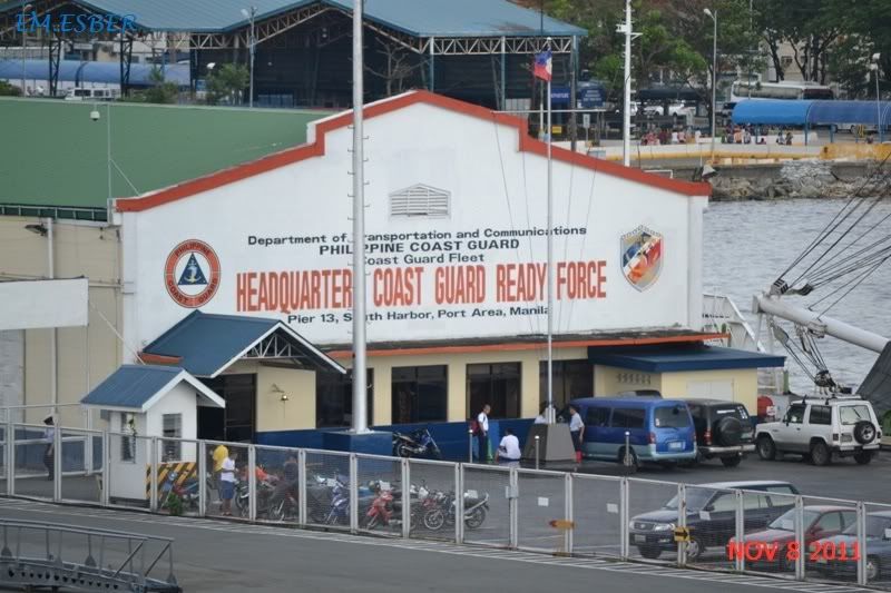
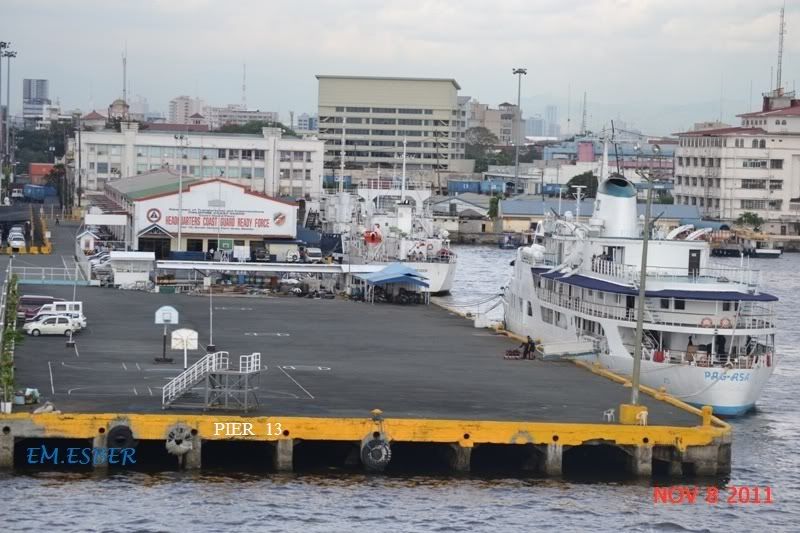
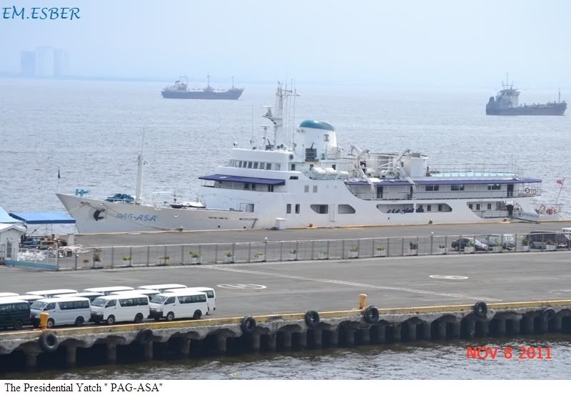
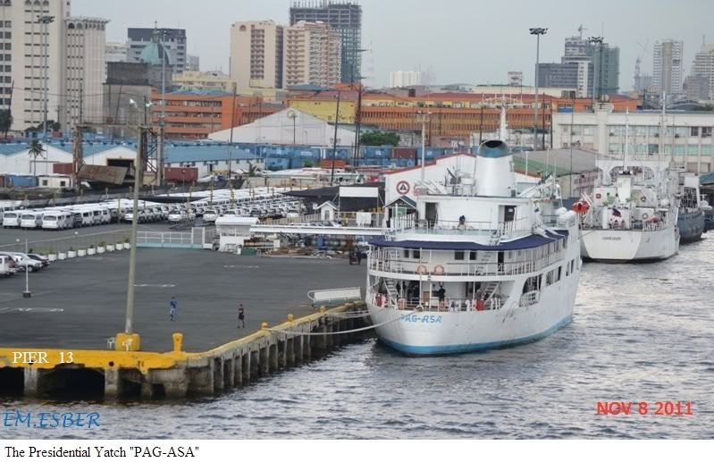
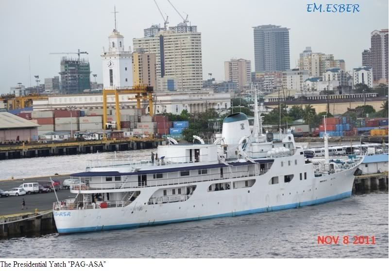
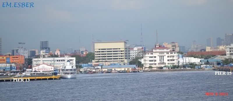
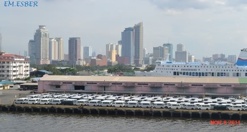
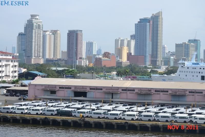
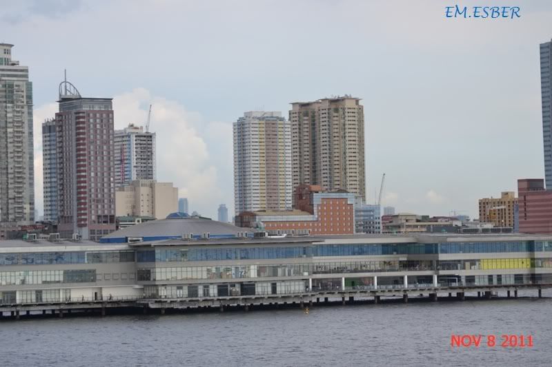
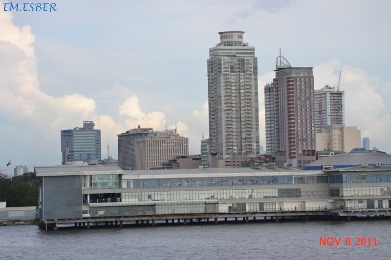
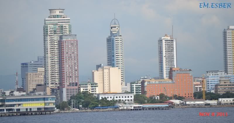
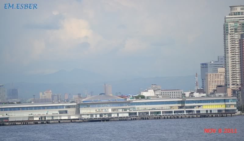
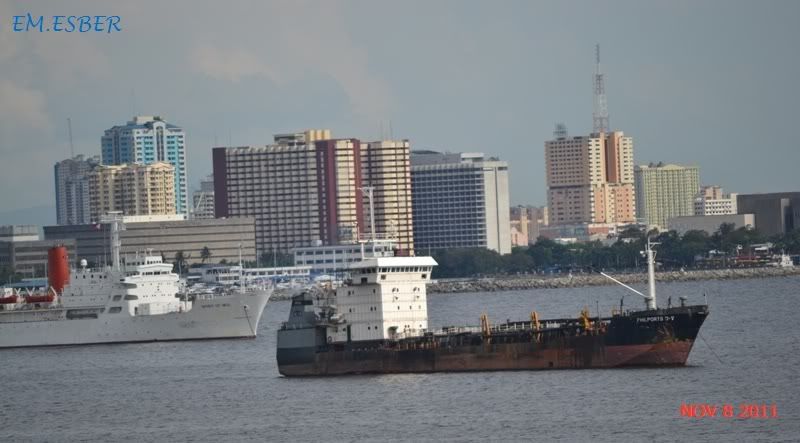
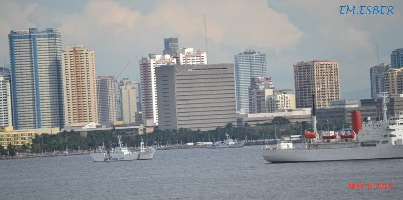
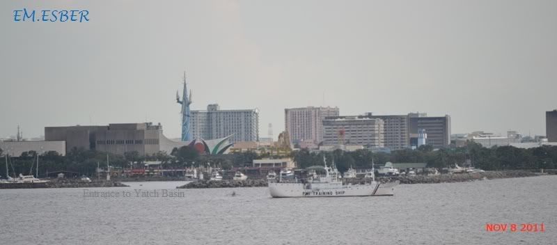
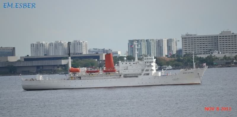
To the immediate north and south are additional harbors, upon which both local and international ports are situated. Large number of ships at the North and South harbors facilitate maritime activities in the bay. Being smaller of the two harbors, the North Harbor is used for inter-island shipping while the South Harbor is used for large ocean-going vessels.
http://en.wikipedia.org/wiki/Manila_Bay


Youtube Video :
Related web sites:
http://www.skyscrapercity.com/showthread.php?t=1458707
http://jibraelangel2blog.blogspot.com/2011/06/south-harbor-port-of-manila-17th-june.html
http://jibraelangel2blog.blogspot.com/2011/05/view-of-roxas-blvd-manila-bay.html
http://jibraelangel2blog.blogspot.com/2011/04/view-of-manilas-south-harbor.html
http://jibraelangel2blog.blogspot.com/2011/02/mariveles-coal-plant-to-be-linked-to.html
Relation of the Voyage to Luzon 1570 - Conquest of Manila
No comments:
Post a Comment