
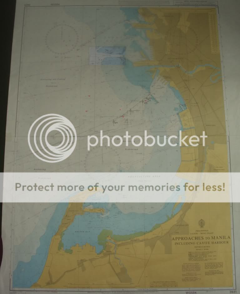
The bay is considered to be one of the best natural harbors in Southeast Asia and one of the finest in the world. It has an area of 1,994 km2 (769.9 sq mi), and a coastline of 190 km (118.1 mi). The entrance is 19 km (11.8 mi) wide and expands to a width of 48 km (29.8 mi). Corregidor Island divides the entrance into two channels, about 2 miles (3.2 km) towards the North and 6.5 miles (10.5 km) wide on the South side. Mariveles, in the province of Bataan, is an anchorage just inside the northern entrance and Sangley Point is the former location of Cavite Naval Base.
On either side of the bay are volcanic peaks topped with tropical foliage: 40 km to the north is the Bataan Peninsula and to the south is the province of Cavite.
Across the entrance to Manila Bay are several islands. The largest is Corregidor, which is 3 kilometers from Bataan and, along with the island of Caballo, separates the mouth of the bay into the North and South Channels. In the south channel is El Fraile Island and outside the entrance, and to the south, is Carabao Island. El Fraile, a rocky island some 4 acres (1.6 ha) in area, supports the massive concrete and steel ruins of Fort Drum, an island fortress constructed by the United States Army to defend the southern entrance of the bay. To the immediate north and south are additional harbors.
The bay was the setting for the Battle of Manila Bay in 1898 and the siege of Corregidor Island by invading Japanese forces in 1942.
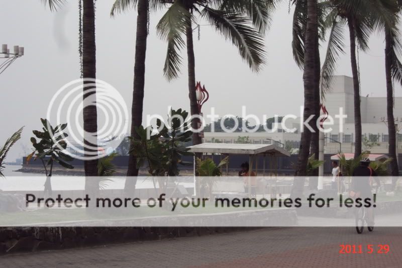
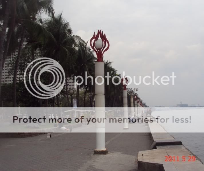
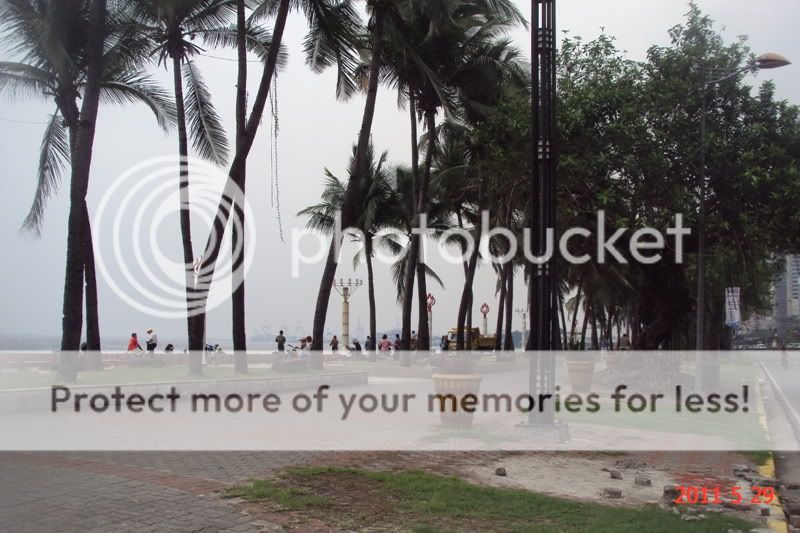
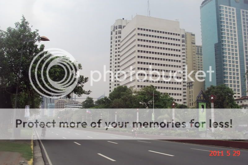
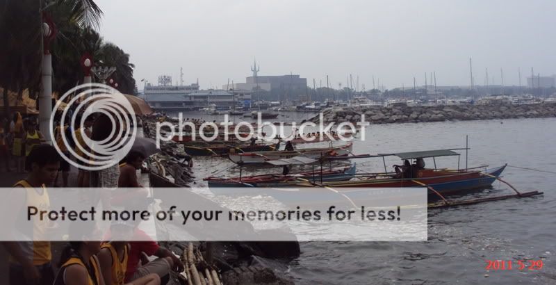
View of Manila Bay and Roxas Blvd from the vicinity of US Embassy to vicinity of Manila Yatch Club.


Construction of pedestrian bridge near the US Embassy Complex.


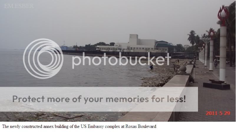
The newly constructed annex building in the US Embassy complex.


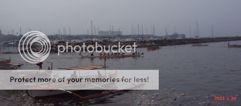


There is a Dragon boat race on this time of the day.


No comments:
Post a Comment